Export Processing Zone · Gambia

July 22 Business Park Under Development
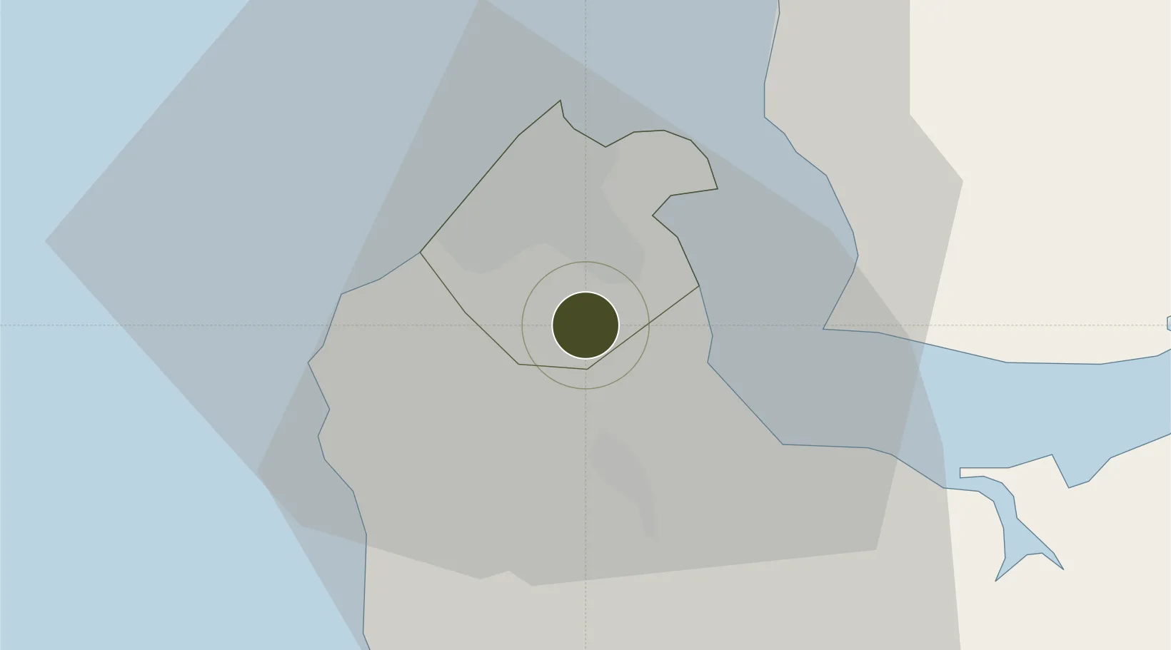
13.3613°, -16.6639°
9 ha
Zone area
14.4 km
Nearest port
2.9 km
Nearest airport

Gateway access

Nearest neighbours — logibook spatial index (haversine) over the source coordinates

Zone profile

Zone type
Export Processing Zone
Open Zone Map
Region
Banjul
Open Zone Map
Status
Under Development
Open Zone Map
Management
Public
Open Zone Map
Operator
Gambia Investment & Export Promotion Agency,
Open Zone Map
Legal framework
Gambia Investment Promotion Act of 2001
Open Zone Map

Location

Location of ozm-2030
Natural Earth 10m (public domain) · Banjul · ozm-2030 · 13.36, -16.66GoogleOSMYandex

Nearby Logistics Neighbours

Ports
  1. 1Banjul14 km
  2. 2Lyndiane104 km
  3. 3Rio Cacheu129 km
  4. 4Rufisque163 km
  5. 5Dakar169 km
Nearest neighbours — logibook spatial index (haversine) over the source coordinates
Airports
  1. 1Banjul International Airport3 km
  2. 2Ziguinchor Airport99 km
  3. 3Cap Skirring Airport108 km
  4. 4Kaolack Airport110 km
  5. 5Blaise Diagne International Airport152 km
Nearest neighbours — logibook spatial index (haversine) over the source coordinates
Cities
  1. 1Sukuta6 km
  2. 2Banjul14 km
  3. 3Sanyang14 km
  4. 4Ziguinchor96 km
  5. 5San Francisco Libre104 km
Nearest neighbours — logibook spatial index (haversine) over the source coordinates
Trade Zones
  1. 1GIETAF Special Economic Zone1 km
  2. 2Banjul Airport Export Processing Zone3 km
  3. 3Sandiara Special Economic Zone120 km
  4. 4Ndayane Port Special Economic Zone141 km
  5. 5Dakar Integrated Special Economic Zone153 km
Nearest neighbours — logibook spatial index (haversine) over the source coordinates
DatabookThe Record of Consolidated Knowledge
Gambia beyond logistics?
Browse databook

All Sources

Trade ZonesOpen Zone Map
CC BY
Portsthe NGA World Port Index
Public domain (US gov)
AirportsOurAirports
Public domain
LocationsUN/LOCODE
UN/LOCODE — free
← Gambia trade zones