Channel & Berth Profile
Pilotage, Tugs & Services
Pilotage compulsoryNO
Pilotage availableYES
Local assistanceYES
Tug assistanceYES
Salvage tugsNO
Potable waterYES
Diesel bunkersYES
MedicalYES
Garbage disposalYES
Facilities & Capabilities
Container—
Ro-Ro—
Liquid bulk—
Dry bulk—
Oil terminal—
Break bulk—
Dry dock—
RepairsNO
BunkeringYES
Rail linkNO
Dangerous cargo—
ISPS securityYES
Harbour Specifications
Harbour size
Very Small
Harbour type
Coastal (Natural)
Shelter
Good
Water body
North Atlantic Ocean
Tidal range
1 m
Pilotage
No
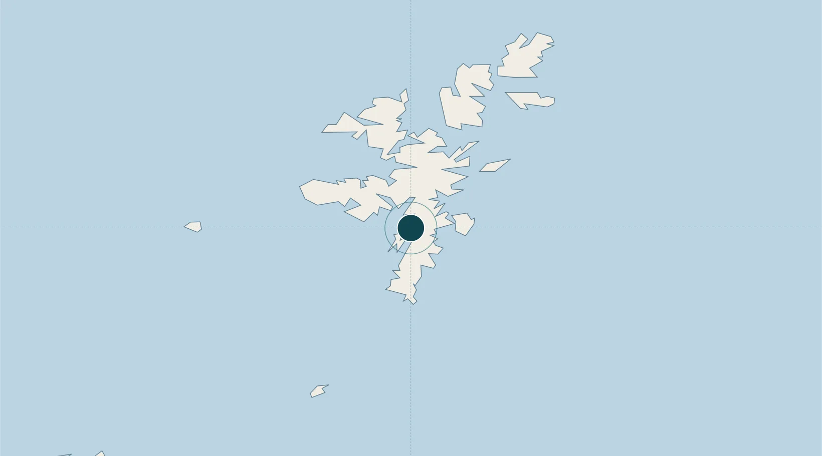
Location
Nearby Logistics Neighbours
Ports
- 1Lerwick8 km
- 2Sullom Voe37 km
- 3Kettletoft124 km
- 4Pierowall132 km
- 5Whitehall134 km
Cities
- 1Hamnavoe, Burra Isle5 km
- 2Tingwall5 km
- 3Lerwick8 km
- 4Skeld9 km
- 5Maryfield, Bressay9 km
Airports
- 1Lerwick / Tingwall Airport7 km
- 2Sumburgh Airport28 km
- 3Foula Airfield43 km
- 4Fair Isle Airport69 km
- 5North Ronaldsay Airport107 km
Trade Zones
DatabookThe Record of Consolidated Knowledge
United Kingdom beyond logistics?