UN/LOCODE hub · United Kingdom
GBHMV

Hamnavoe, Burra Isle

60.1000°, -1.3333°
2
Transport functions

Transport Functions

Port
Road
UN/LOCODE

Hub Profile

Region
ZET
GeoNames

Location

Location of GBHMV
Natural Earth 10m (public domain) · ZET · GBHMV · 60.10, -1.33GoogleOSMYandex

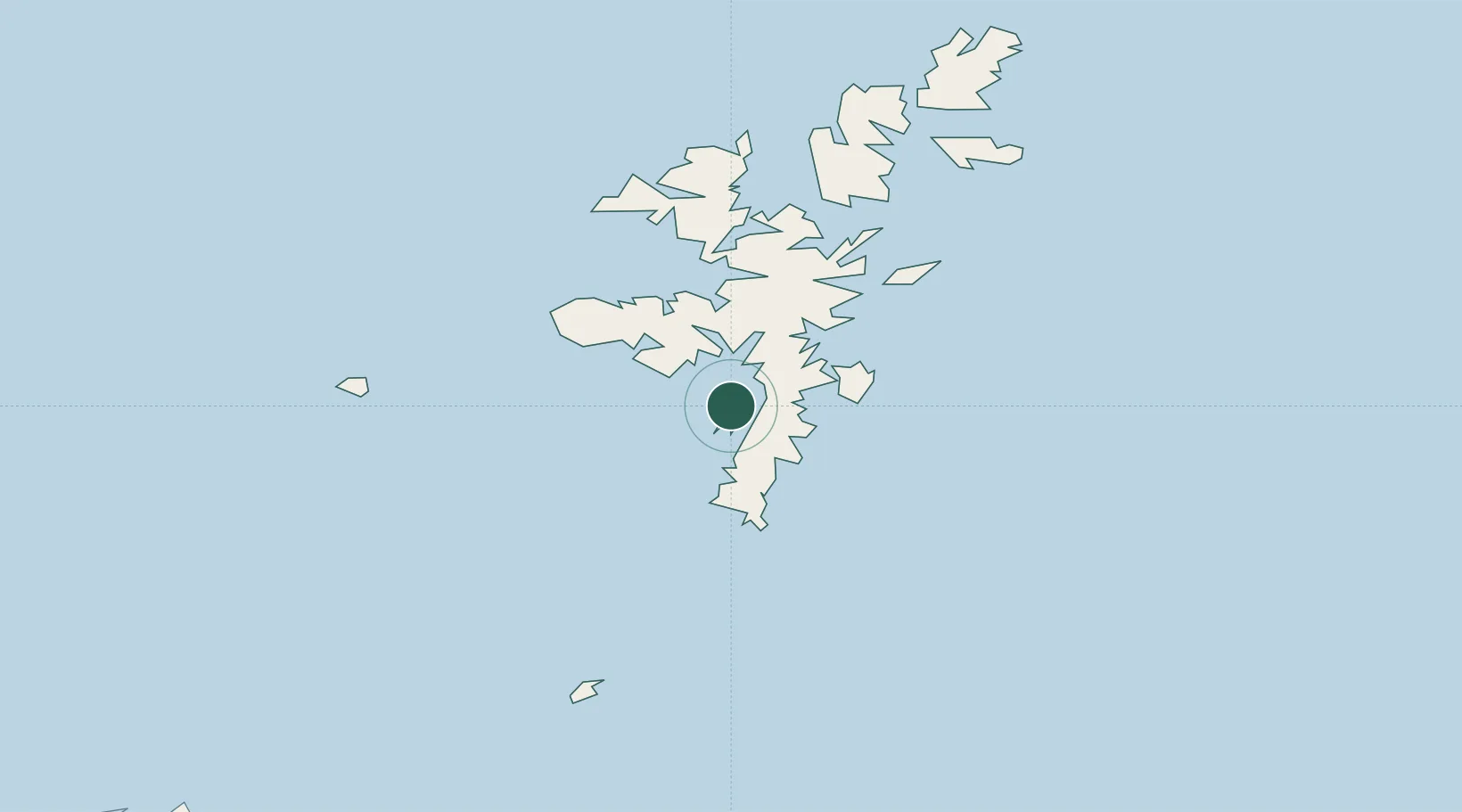
Nearby Logistics Neighbours

Cities
  1. 1Scalloway5 km
  2. 2Skeld9 km
  3. 3Tingwall10 km
  4. 4Lerwick12 km
  5. 5Hoswick12 km
Nearest neighbours — logibook spatial index (haversine) over the source coordinates
Ports
  1. 1Scalloway5 km
  2. 2Lerwick13 km
  3. 3Sullom Voe41 km
  4. 4Kettletoft120 km
  5. 5Pierowall127 km
Nearest neighbours — logibook spatial index (haversine) over the source coordinates
Airports
  1. 1Lerwick / Tingwall Airport11 km
  2. 2Sumburgh Airport25 km
  3. 3Foula Airfield40 km
  4. 4Fair Isle Airport65 km
  5. 5North Ronaldsay Airport102 km
Nearest neighbours — logibook spatial index (haversine) over the source coordinates
Trade Zones
  1. 1Prestwick Airport Free Zone546 km
  2. 2North Eastern Enterprise Zone571 km
  3. 3Carlisle Kingmoor Park Enterprise Zone583 km
  4. 4Tees Valley Enterprise Zone612 km
  5. 5York Central Enterprise Zone683 km
Nearest neighbours — logibook spatial index (haversine) over the source coordinates
DatabookThe Record of Consolidated Knowledge
United Kingdom beyond logistics?
Browse databook

All Sources

LocationsUN/LOCODE
UN/LOCODE — free
Portsthe NGA World Port Index
Public domain (US gov)
AirportsOurAirports
Public domain
Trade Zonesthe World Bank SEZ database
CC BY 4.0
Trade ZonesOpen Zone Map
CC BY
← United Kingdom locations