Small airport · United Kingdom

Fair Isle AirportEGEF

59.5347°, -1.6285°
1,761 ft
Longest runway
1
Runways
223 ft
Elevation

Runway & Layout

Fair Isle Airport runway & taxiway layout
Runway & taxiway layout — OpenStreetMap (ODbL) / OurAirports

Radio Frequencies

A/G
118.025 MHz
Fair Isle A/G
OurAirports

Runways · 1

RunwayDimensions SurfaceTrue headingLit
06/24 1,761 × 75ft Gravel 062°
OurAirports

Airport Specifications

IATA code
FIE
OurAirports
ICAO code
EGEF
OurAirports
Airport class
Small airport
OurAirports
Scheduled service
Yes
OurAirports
Runway surface
Gravel
OurAirports
Served city
Fair Isle
OurAirports

Location

Location of EGEF
Natural Earth 10m (public domain) · Shetland Islands · EGEF · 59.53, -1.63GoogleOSMYandex

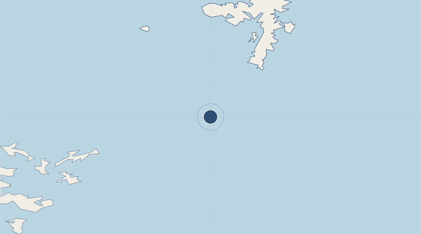
Nearby Logistics Neighbours

Airports
  1. 1Sumburgh Airport43 km
  2. 2North Ronaldsay Airport49 km
  3. 3Sanday Airport62 km
  4. 4Foula Airfield70 km
  5. 5Stronsay Airport71 km
Nearest neighbours — logibook spatial index (haversine) over the source coordinates
Cities
  1. 1North Haven, Fair Isle2 km
  2. 2Dunrossness and Fair Isle2 km
  3. 3Fairisle3 km
  4. 4Grutness42 km
  5. 5North Ronaldsay50 km
Nearest neighbours — logibook spatial index (haversine) over the source coordinates
Ports
  1. 1Kettletoft64 km
  2. 2Scalloway69 km
  3. 3Whitehall71 km
  4. 4Lerwick75 km
  5. 5Pierowall81 km
Nearest neighbours — logibook spatial index (haversine) over the source coordinates
Trade Zones
  1. 1Prestwick Airport Free Zone482 km
  2. 2North Eastern Enterprise Zone508 km
  3. 3Carlisle Kingmoor Park Enterprise Zone518 km
  4. 4Tees Valley Enterprise Zone549 km
  5. 5York Central Enterprise Zone621 km
Nearest neighbours — logibook spatial index (haversine) over the source coordinates
DatabookThe Record of Consolidated Knowledge
United Kingdom beyond logistics?
Browse databook

All Sources

AirportsOurAirports
Public domain
Portsthe NGA World Port Index
Public domain (US gov)
LocationsUN/LOCODE
UN/LOCODE — free
Trade Zonesthe World Bank SEZ database
CC BY 4.0
Trade ZonesOpen Zone Map
CC BY
InfrastructureOpenStreetMap
ODbL 1.0
← United Kingdom airports