UN/LOCODE hub · United Kingdom
GBSWY
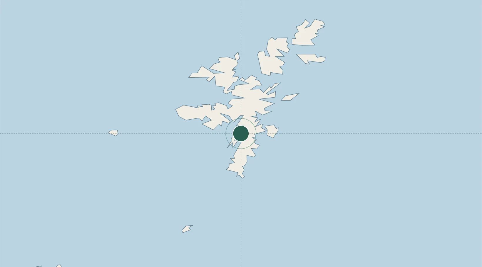
Scalloway
60.1333°, -1.2833°
1,100
Population
1
Transport functions
Transport Functions
Port
Hub Profile
Place type
Populated place
Region
Scotland
Population
1,100
Time zone
Europe/London
Elevation
62 m
Location
Nearby Logistics Neighbours
Cities
- 1Hamnavoe, Burra Isle5 km
- 2Tingwall5 km
- 3Lerwick8 km
- 4Skeld9 km
- 5Maryfield, Bressay9 km
Ports
- 1Lerwick8 km
- 2Sullom Voe37 km
- 3Kettletoft124 km
- 4Pierowall132 km
- 5Whitehall134 km
Airports
- 1Lerwick / Tingwall Airport7 km
- 2Sumburgh Airport28 km
- 3Foula Airfield43 km
- 4Fair Isle Airport69 km
- 5North Ronaldsay Airport107 km
Trade Zones
DatabookThe Record of Consolidated Knowledge
United Kingdom beyond logistics?