Small airport · United Kingdom

North Ronaldsay AirportEGEN
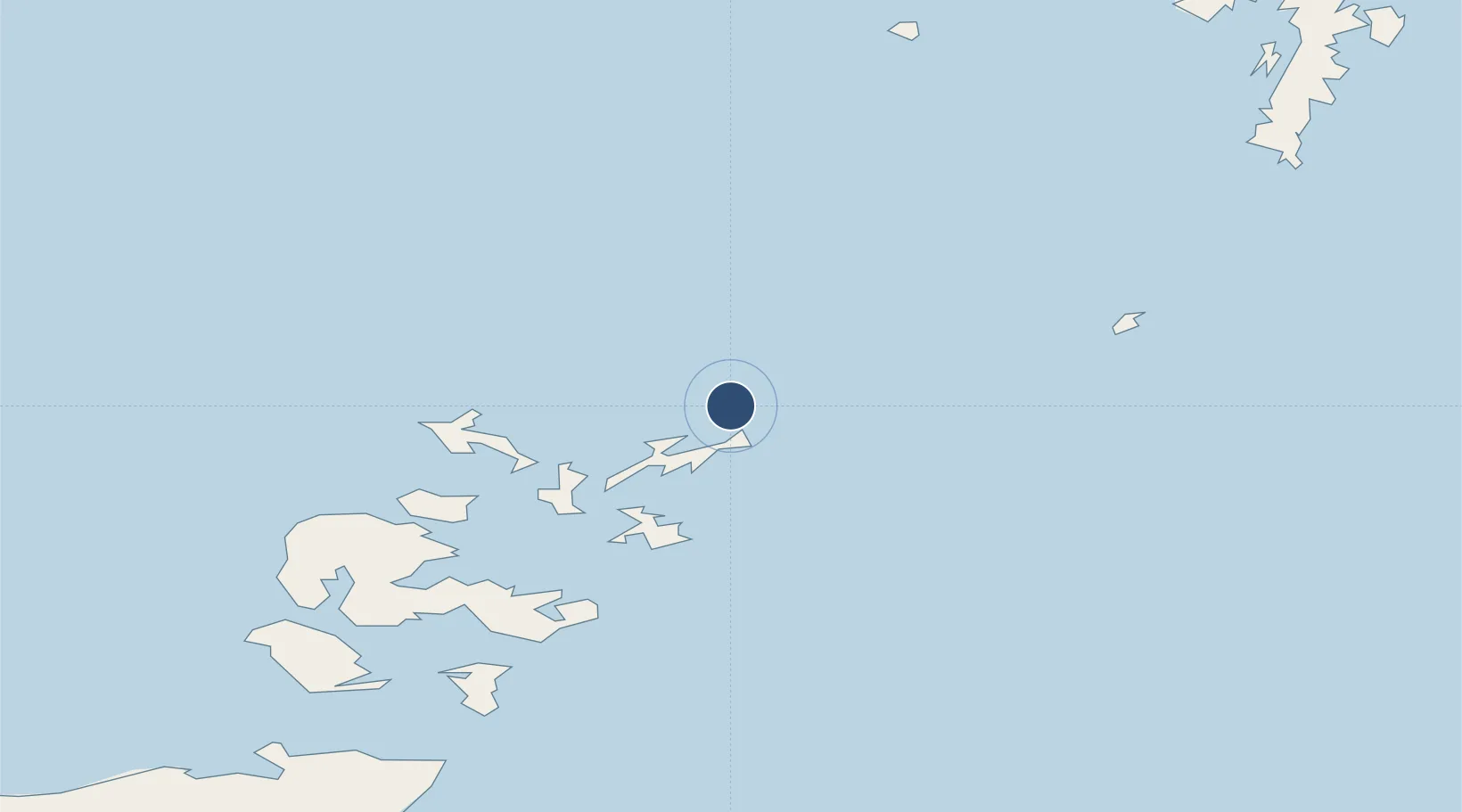
59.3675°, -2.4344°
1,729 ft
Longest runway
3
Runways
40 ft
Elevation

Runway & Layout

North Ronaldsay Airport runway & taxiway layout
Runway & taxiway layout — OpenStreetMap (ODbL) / OurAirports

Radio Frequencies

RAD/APP
118.3 MHz
North Ronaldsay RAD/APP
OurAirports

Runways · 3

RunwayDimensions SurfaceTrue headingLit
10/28 1,729 × 59ft Graded Hardcore 099°
14/32 1,240 × 98ft Grass 136°
03/21 1,082 × 159ft Graded Hardcore 031°
OurAirports

Airport Specifications

IATA code
NRL
OurAirports
ICAO code
EGEN
OurAirports
Airport class
Small airport
OurAirports
Scheduled service
Yes
OurAirports
Runway surface
Graded Hardcore
OurAirports
Served city
North Ronaldsay
OurAirports

Location

Location of EGEN
Natural Earth 10m (public domain) · Alaska · EGEN · 59.37, -2.43GoogleOSMYandex

Nearby Logistics Neighbours

Airports
  1. 1Sanday Airport15 km
  2. 2Stronsay Airport26 km
  3. 3Papa Westray Airport27 km
  4. 4Eday Airport28 km
  5. 5Westray Airport29 km
Nearest neighbours — logibook spatial index (haversine) over the source coordinates
Cities
  1. 1North Ronaldsay2 km
  2. 2Kettletoft, Sanday18 km
  3. 3Loth, Sanday24 km
  4. 4Papa Westray26 km
  5. 5Rapness, Westray27 km
Nearest neighbours — logibook spatial index (haversine) over the source coordinates
Ports
  1. 1Kettletoft18 km
  2. 2Whitehall28 km
  3. 3Pierowall32 km
  4. 4Kirkwall52 km
  5. 5Scapa Bay56 km
Nearest neighbours — logibook spatial index (haversine) over the source coordinates
Trade Zones
  1. 1Prestwick Airport Free Zone448 km
  2. 2North Eastern Enterprise Zone492 km
  3. 3Carlisle Kingmoor Park Enterprise Zone494 km
  4. 4Tees Valley Enterprise Zone535 km
  5. 5Isle of Man Free Zone and Business Park602 km
Nearest neighbours — logibook spatial index (haversine) over the source coordinates
DatabookThe Record of Consolidated Knowledge
United Kingdom beyond logistics?
Browse databook

All Sources

AirportsOurAirports
Public domain
Portsthe NGA World Port Index
Public domain (US gov)
LocationsUN/LOCODE
UN/LOCODE — free
Trade Zonesthe World Bank SEZ database
CC BY 4.0
Trade ZonesOpen Zone Map
CC BY
InfrastructureOpenStreetMap
ODbL 1.0
← United Kingdom airports