Channel & Berth Profile
Facilities & Capabilities
Container—
Ro-Ro—
Liquid bulk—
Dry bulk—
Oil terminal—
Break bulk—
Dry dock—
RepairsNO
Bunkering—
Rail link—
Dangerous cargo—
ISPS security—
Harbour Specifications
Harbour size
Small
Harbour type
Coastal (Natural)
Shelter
Good
Water body
North Atlantic Ocean
Tidal range
7 m
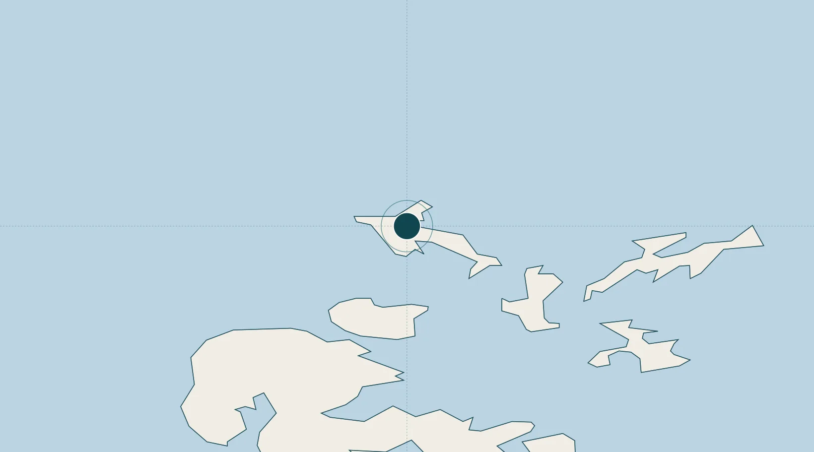
Location
Nearby Logistics Neighbours
Ports
- 1Kettletoft24 km
- 2Whitehall30 km
- 3Kirkwall37 km
- 4Scapa Bay41 km
- 5Stromness43 km
Cities
- 1Papa Westray6 km
- 2Rapness, Westray9 km
- 3Egilsay19 km
- 4Rousay21 km
- 5Wyre21 km
Airports
- 1Westray Airport4 km
- 2Papa Westray Airport6 km
- 3Eday Airport19 km
- 4Sanday Airport25 km
- 5Stronsay Airport27 km
Trade Zones
DatabookThe Record of Consolidated Knowledge
United Kingdom beyond logistics?