Medium airport · United Kingdom

Sumburgh AirportEGPB
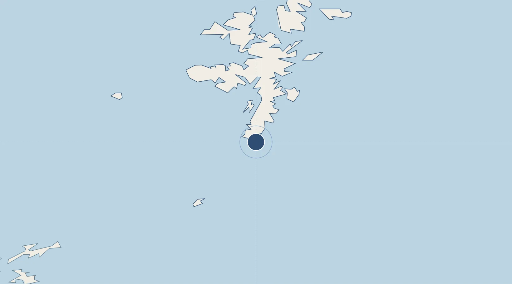
59.8789°, -1.2956°
4,915 ft
Longest runway
3
Runways
20 ft
Elevation

Runway & Layout

Sumburgh Airport runway & taxiway layout
Runway & taxiway layout — OpenStreetMap (ODbL) / OurAirports

Radio Frequencies

ATIS
125.85 MHz
TWR
118.25 MHz
APP
131.3 MHz
RADAR
OurAirports

Navaids

SBH NDB Sumburgh 351 kHz
SUM VOR-DME Sumburgh 117.35 MHz
OurAirports

Runways · 3

RunwayDimensions SurfaceTrue headingLit
09/27 4,915 × 144ft Asphalt 084°
15/33 4,672 × 141ft Asphalt 144°
06H/24H 1,781 × 144ft Asphalt 053°
OurAirports

Airport Specifications

IATA code
LSI
OurAirports
ICAO code
EGPB
OurAirports
Airport class
Medium airport
OurAirports
Scheduled service
Yes
OurAirports
Runway surface
Asphalt
OurAirports
Served city
Lerwick, Shetland
OurAirports

Location

Location of EGPB
Natural Earth 10m (public domain) · Shetland Islands · EGPB · 59.88, -1.30GoogleOSMYandex

Nearby Logistics Neighbours

Airports
  1. 1Lerwick / Tingwall Airport35 km
  2. 2Fair Isle Airport43 km
  3. 3Foula Airfield50 km
  4. 4North Ronaldsay Airport86 km
  5. 5Sanday Airport101 km
Nearest neighbours — logibook spatial index (haversine) over the source coordinates
Cities
  1. 1Grutness2 km
  2. 2Levenwick10 km
  3. 3Sandwick12 km
  4. 4Hoswick14 km
  5. 5Hamnavoe, Burra Isle25 km
Nearest neighbours — logibook spatial index (haversine) over the source coordinates
Ports
  1. 1Scalloway28 km
  2. 2Lerwick33 km
  3. 3Sullom Voe65 km
  4. 4Kettletoft103 km
  5. 5Whitehall111 km
Nearest neighbours — logibook spatial index (haversine) over the source coordinates
Trade Zones
  1. 1Prestwick Airport Free Zone524 km
  2. 2North Eastern Enterprise Zone547 km
  3. 3Carlisle Kingmoor Park Enterprise Zone559 km
  4. 4Tees Valley Enterprise Zone587 km
  5. 5York Central Enterprise Zone659 km
Nearest neighbours — logibook spatial index (haversine) over the source coordinates
DatabookThe Record of Consolidated Knowledge
United Kingdom beyond logistics?
Browse databook

All Sources

AirportsOurAirports
Public domain
Portsthe NGA World Port Index
Public domain (US gov)
LocationsUN/LOCODE
UN/LOCODE — free
Trade Zonesthe World Bank SEZ database
CC BY 4.0
Trade ZonesOpen Zone Map
CC BY
InfrastructureOpenStreetMap
ODbL 1.0
← United Kingdom airports