Transport Functions
Port
Airport
Hub Profile
Place type
Populated place
Region
Scotland
Time zone
Europe/London
Elevation
31 m
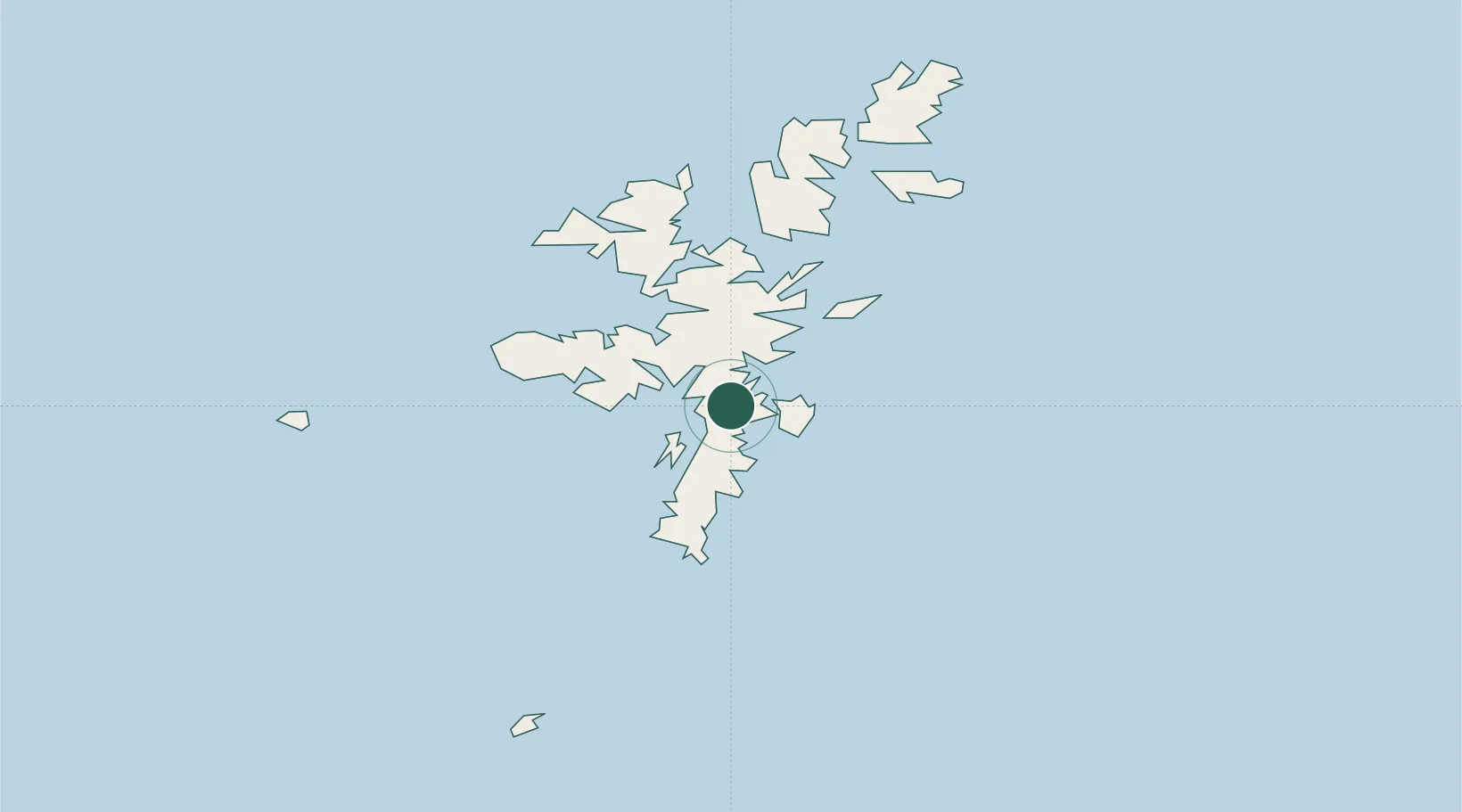
Location
Nearby Logistics Neighbours
Cities
- 1Lerwick4 km
- 2Scalloway5 km
- 3Maryfield, Bressay6 km
- 4Hamnavoe, Burra Isle10 km
- 5Sand11 km
Ports
- 1Lerwick4 km
- 2Scalloway5 km
- 3Sullom Voe34 km
- 4Kettletoft130 km
- 5Pierowall137 km
Airports
- 1Lerwick / Tingwall Airport3 km
- 2Sumburgh Airport32 km
- 3Foula Airfield47 km
- 4Fair Isle Airport74 km
- 5North Ronaldsay Airport112 km
Trade Zones
DatabookThe Record of Consolidated Knowledge
United Kingdom beyond logistics?