UN/LOCODE hub · United Kingdom
GBSKZ

Skeld

60.1667°, -1.4333°
2
Transport functions

Transport Functions

Port
Road
UN/LOCODE

Hub Profile

Region
ZET
GeoNames

Location

Location of GBSKZ
Natural Earth 10m (public domain) · ZET · GBSKZ · 60.17, -1.43GoogleOSMYandex

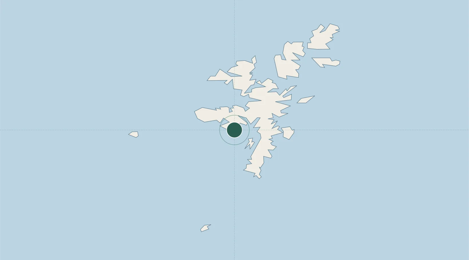
Nearby Logistics Neighbours

Cities
  1. 1Sand6 km
  2. 2West Mainland6 km
  3. 3Walls9 km
  4. 4Scalloway9 km
  5. 5Walls Shetland9 km
Nearest neighbours — logibook spatial index (haversine) over the source coordinates
Ports
  1. 1Scalloway9 km
  2. 2Lerwick16 km
  3. 3Sullom Voe34 km
  4. 4Kettletoft123 km
  5. 5Pierowall129 km
Nearest neighbours — logibook spatial index (haversine) over the source coordinates
Airports
  1. 1Lerwick / Tingwall Airport11 km
  2. 2Sumburgh Airport33 km
  3. 3Foula Airfield35 km
  4. 4Fair Isle Airport71 km
  5. 5North Ronaldsay Airport105 km
Nearest neighbours — logibook spatial index (haversine) over the source coordinates
Trade Zones
  1. 1Prestwick Airport Free Zone551 km
  2. 2North Eastern Enterprise Zone578 km
  3. 3Carlisle Kingmoor Park Enterprise Zone589 km
  4. 4Tees Valley Enterprise Zone619 km
  5. 5York Central Enterprise Zone691 km
Nearest neighbours — logibook spatial index (haversine) over the source coordinates
DatabookThe Record of Consolidated Knowledge
United Kingdom beyond logistics?
Browse databook

All Sources

LocationsUN/LOCODE
UN/LOCODE — free
Portsthe NGA World Port Index
Public domain (US gov)
AirportsOurAirports
Public domain
Trade Zonesthe World Bank SEZ database
CC BY 4.0
Trade ZonesOpen Zone Map
CC BY
← United Kingdom locations