Seaport · United Kingdom

WhitehallGBWHL

59.1333°, -2.6000°
3.4 m
Channel depth
Whitehall is also a UN/LOCODE logistics hub →

Channel & Berth Profile

SEA LEVEL (CD)CHANNEL BEDAnchorage · 1.8 mCargo pier · 1.8 mChannel · 3.4 m
NGA World Port Index

Pilotage, Tugs & Services

Shore powerYES
NGA World Port Index

Facilities & Capabilities

Container
Ro-Ro
Liquid bulk
Dry bulk
Oil terminal
Break bulk
Dry dock
RepairsNO
Bunkering
Rail link
Dangerous cargo
ISPS security
NGA World Port Index

Harbour Specifications
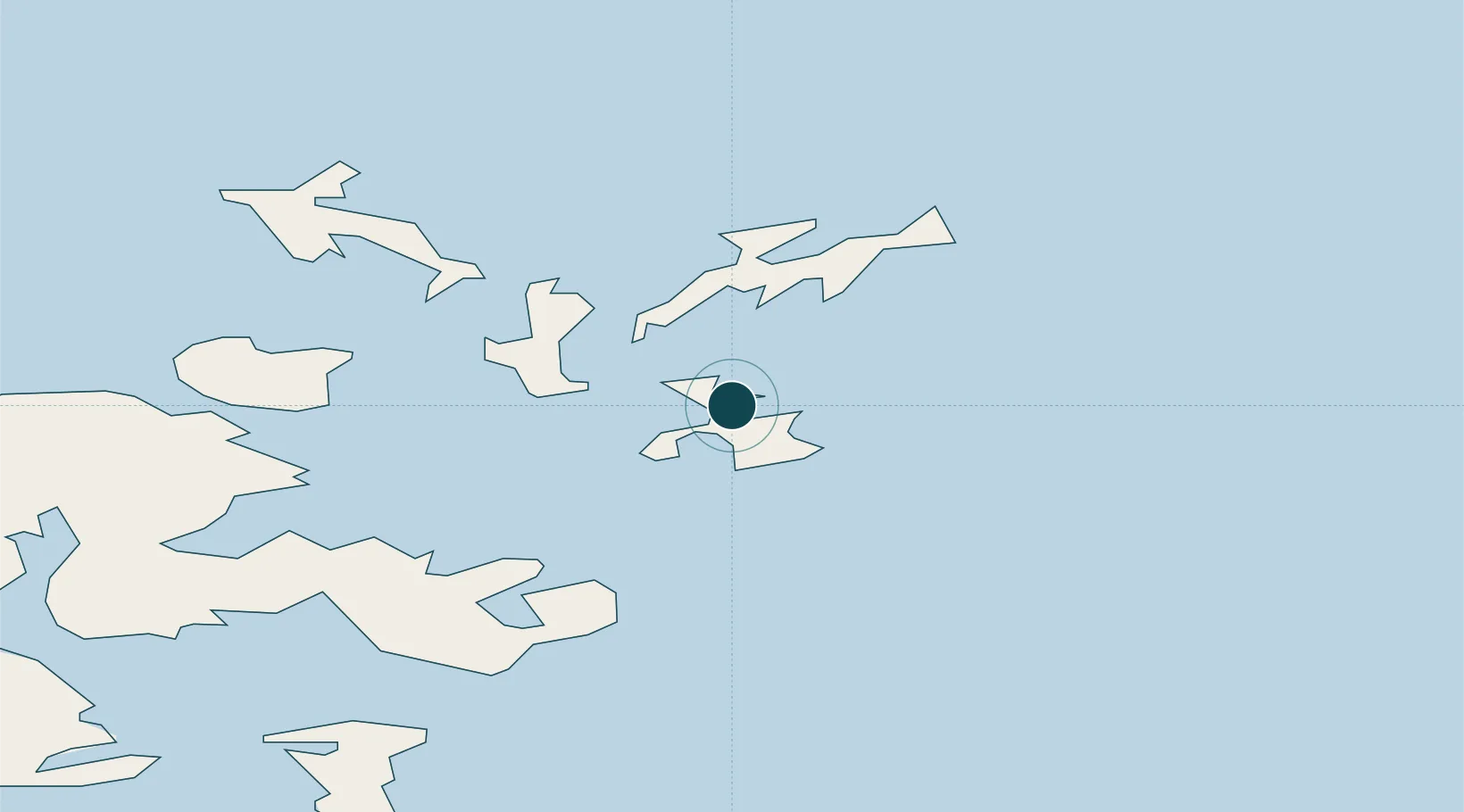
Harbour size
Very Small
NGA World Port Index
Harbour type
Coastal (Natural)
NGA World Port Index
Shelter
Poor
NGA World Port Index
Water body
North Sea; North Atlantic Ocean
NGA World Port Index
Tidal range
7 m
NGA World Port Index

Location

Location of GBWHL
Natural Earth 10m (public domain) · Orkney · GBWHL · 59.13, -2.60GoogleOSMYandex

Nearby Logistics Neighbours

Ports
  1. 1Kettletoft11 km
  2. 2Kirkwall27 km
  3. 3Scapa Bay30 km
  4. 4Pierowall30 km
  5. 5St Margarets Hope39 km
Nearest neighbours — logibook spatial index (haversine) over the source coordinates
Cities
  1. 1Lamb Head7 km
  2. 2Backaland, Eday9 km
  3. 3Loth, Sanday9 km
  4. 4Kettletoft, Sanday11 km
  5. 5Shapinsay17 km
Nearest neighbours — logibook spatial index (haversine) over the source coordinates
Airports
  1. 1Stronsay Airport3 km
  2. 2Eday Airport12 km
  3. 3Sanday Airport13 km
  4. 4Kirkwall Airport26 km
  5. 5North Ronaldsay Airport28 km
Nearest neighbours — logibook spatial index (haversine) over the source coordinates
Trade Zones
  1. 1Prestwick Airport Free Zone421 km
  2. 2North Eastern Enterprise Zone467 km
  3. 3Carlisle Kingmoor Park Enterprise Zone467 km
  4. 4Tees Valley Enterprise Zone511 km
  5. 5Isle of Man Free Zone and Business Park574 km
Nearest neighbours — logibook spatial index (haversine) over the source coordinates
DatabookThe Record of Consolidated Knowledge
United Kingdom beyond logistics?
Browse databook

All Sources

Portsthe NGA World Port Index
Public domain (US gov)
AirportsOurAirports
Public domain
LocationsUN/LOCODE
UN/LOCODE — free
Trade Zonesthe World Bank SEZ database
CC BY 4.0
Trade ZonesOpen Zone Map
CC BY
← United Kingdom ports