Transport Functions
Port
Road
Hub Profile
Region
ZET
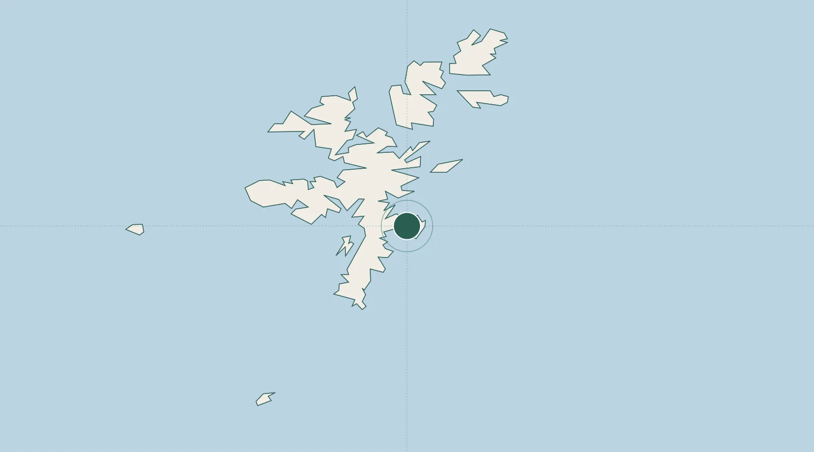
Location
Nearby Logistics Neighbours
Cities
- 1Lerwick2 km
- 2Tingwall6 km
- 3Scalloway9 km
- 4Hamnavoe, Burra Isle13 km
- 5Sand17 km
Ports
- 1Lerwick3 km
- 2Scalloway9 km
- 3Sullom Voe37 km
- 4Kettletoft132 km
- 5Pierowall140 km
Airports
- 1Lerwick / Tingwall Airport8 km
- 2Sumburgh Airport32 km
- 3Foula Airfield52 km
- 4Fair Isle Airport74 km
- 5North Ronaldsay Airport114 km
Trade Zones
DatabookThe Record of Consolidated Knowledge
United Kingdom beyond logistics?