Small airport · United Kingdom

Lerwick / Tingwall AirportEGET
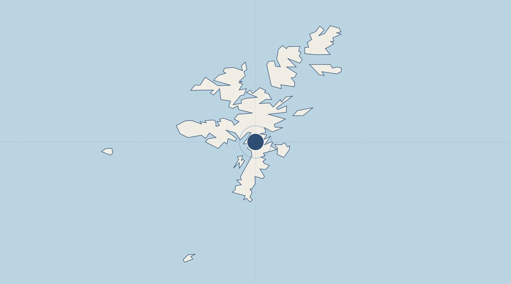
60.1922°, -1.2436°
5,787 ft
Longest runway
1
Runways
43 ft
Elevation

Runway & Layout

Lerwick / Tingwall Airport runway & taxiway layout
Runway & taxiway layout — OpenStreetMap (ODbL) / OurAirports

Radio Frequencies

A/G
122.6 MHz
Lerwick Tingwall A/G
OurAirports

Runways · 1

RunwayDimensions SurfaceTrue headingLit
02/20 5,787 × 59ft Asphalt 016°
OurAirports

Airport Specifications

IATA code
LWK
OurAirports
ICAO code
EGET
OurAirports
Airport class
Small airport
OurAirports
Scheduled service
Yes
OurAirports
Runway surface
Asphalt
OurAirports
Served city
Lerwick, Shetland Islands
OurAirports

Location

Location of EGET
Natural Earth 10m (public domain) · Shetland Islands · EGET · 60.19, -1.24GoogleOSMYandex

Nearby Logistics Neighbours

Airports
  1. 1Sumburgh Airport35 km
  2. 2Foula Airfield46 km
  3. 3Fair Isle Airport76 km
  4. 4North Ronaldsay Airport113 km
  5. 5Sanday Airport129 km
Nearest neighbours — logibook spatial index (haversine) over the source coordinates
Cities
  1. 1Tingwall3 km
  2. 2Scalloway7 km
  3. 3Lerwick7 km
  4. 4Sand8 km
  5. 5West Mainland8 km
Nearest neighbours — logibook spatial index (haversine) over the source coordinates
Ports
  1. 1Lerwick6 km
  2. 2Scalloway7 km
  3. 3Sullom Voe31 km
  4. 4Kettletoft131 km
  5. 5Pierowall138 km
Nearest neighbours — logibook spatial index (haversine) over the source coordinates
Trade Zones
  1. 1Prestwick Airport Free Zone557 km
  2. 2North Eastern Enterprise Zone582 km
  3. 3Carlisle Kingmoor Park Enterprise Zone594 km
  4. 4Tees Valley Enterprise Zone622 km
  5. 5York Central Enterprise Zone693 km
Nearest neighbours — logibook spatial index (haversine) over the source coordinates
DatabookThe Record of Consolidated Knowledge
United Kingdom beyond logistics?
Browse databook

All Sources

AirportsOurAirports
Public domain
Portsthe NGA World Port Index
Public domain (US gov)
LocationsUN/LOCODE
UN/LOCODE — free
Trade Zonesthe World Bank SEZ database
CC BY 4.0
Trade ZonesOpen Zone Map
CC BY
InfrastructureOpenStreetMap
ODbL 1.0
← United Kingdom airports