Transport Functions
Port
Airport
Hub Profile
Place type
Provincial seat
Region
Scotland
Population
6,760
Time zone
Europe/London
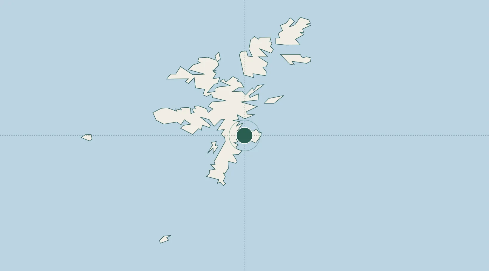
Location
Nearby Logistics Neighbours
Cities
- 1Maryfield, Bressay2 km
- 2Tingwall4 km
- 3Scalloway8 km
- 4Hamnavoe, Burra Isle12 km
- 5Sand15 km
Ports
- 1Scalloway8 km
- 2Sullom Voe36 km
- 3Kettletoft130 km
- 4Pierowall139 km
- 5Whitehall139 km
Airports
- 1Lerwick / Tingwall Airport7 km
- 2Sumburgh Airport31 km
- 3Foula Airfield50 km
- 4Fair Isle Airport74 km
- 5North Ronaldsay Airport113 km
Trade Zones
DatabookThe Record of Consolidated Knowledge
United Kingdom beyond logistics?