Channel & Berth Profile
Pilotage, Tugs & Services
Pilotage compulsoryYES
Pilotage availableYES
Pilotage advisableYES
Local assistanceYES
Tug assistanceYES
Shore powerYES
Diesel bunkersYES
Garbage disposalYES
Facilities & Capabilities
Container—
Ro-Ro—
Liquid bulk—
Dry bulk—
Oil terminalYES
Break bulk—
Dry dock—
RepairsNO
BunkeringYES
Rail linkNO
Dangerous cargo—
ISPS securityYES
Harbour Specifications
Harbour size
Small
Harbour type
Coastal (Natural)
Shelter
Good
Water body
North Atlantic Ocean
Tidal range
1 m
Pilotage
Yes
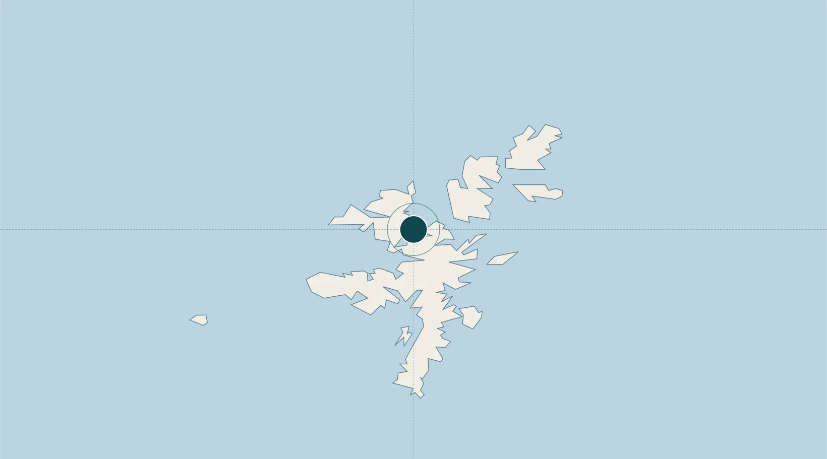
Location
Nearby Logistics Neighbours
Ports
- 1Lerwick34 km
- 2Scalloway37 km
- 3Kettletoft155 km
- 4Pierowall159 km
- 5Whitehall165 km
Cities
- 1Toft Shetland5 km
- 2Ulsta, Yell8 km
- 3Collafirth8 km
- 4Shetland9 km
- 5North Roe to Hillswick13 km
Airports
- 1Lerwick / Tingwall Airport31 km
- 2Foula Airfield57 km
- 3Sumburgh Airport65 km
- 4Fair Isle Airport105 km
- 5North Ronaldsay Airport138 km
Trade Zones
DatabookThe Record of Consolidated Knowledge
United Kingdom beyond logistics?