Seaport · United Kingdom
LerwickGBLER
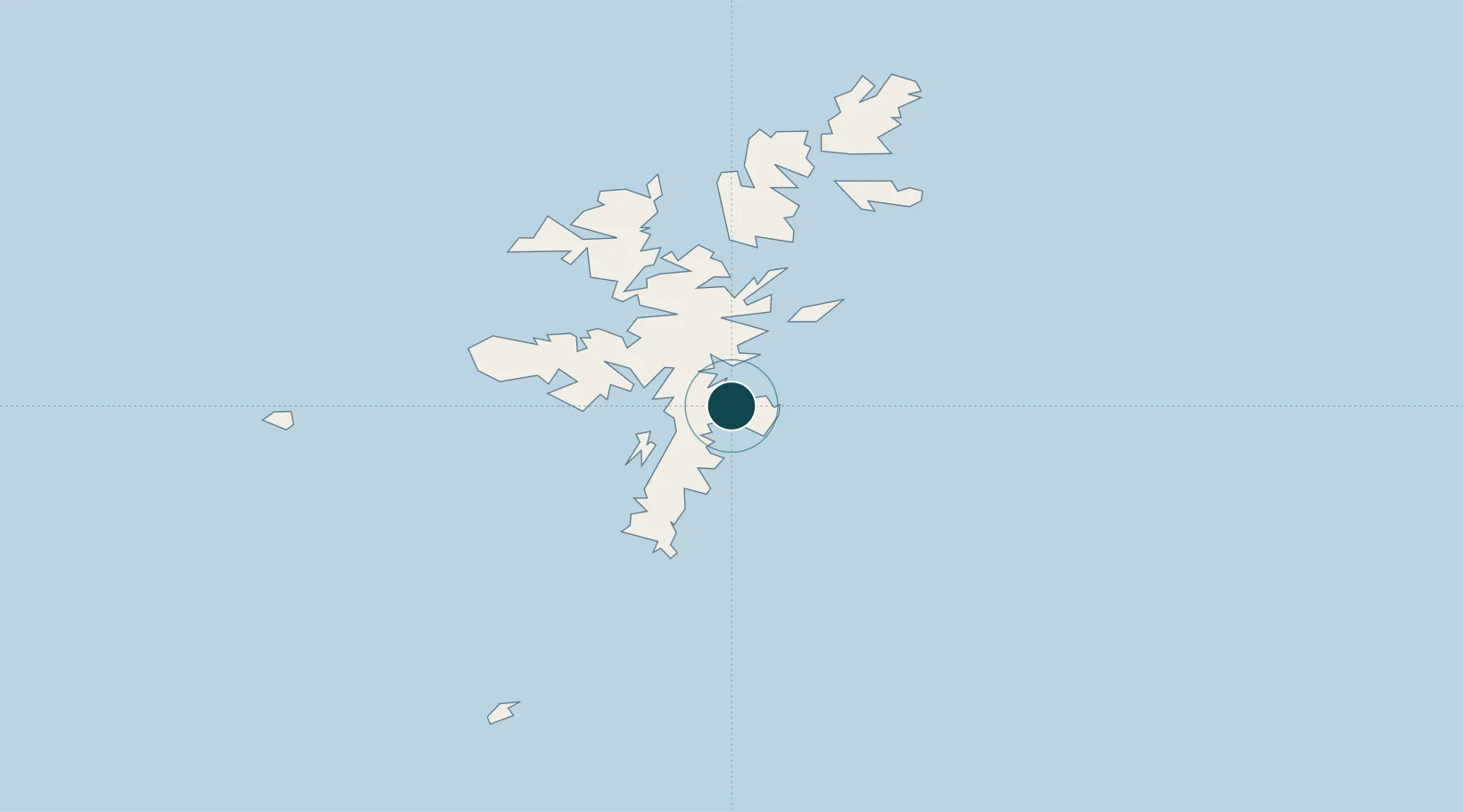
60.1670°, -1.1500°
9.1 m
Channel depth
8.2
Port liner connectivity
Channel & Berth Profile
Pilotage, Tugs & Services
Pilotage compulsoryYES
Pilotage availableYES
Tug assistanceYES
Salvage tugsNO
Shore powerYES
Potable waterYES
Diesel bunkersYES
MedicalYES
Garbage disposalYES
Facilities & Capabilities
ContainerYES
Ro-RoYES
Liquid bulkYES
Dry bulk—
Oil terminalYES
Break bulkYES
Dry dockNO
RepairsNO
BunkeringYES
Rail linkNO
Dangerous cargo—
ISPS securityYES
Harbour Specifications
Harbour size
Medium
Harbour type
Coastal (Natural)
Shelter
Fair
Water body
North Sea; North Atlantic Ocean
Tidal range
2 m
Pilotage
Yes
Liner Connectivity
8.2
PLSCI
Port Liner Shipping Connectivity Index for Lerwick, as published by UNCTAD for the latest available quarter. Higher values indicate stronger scheduled liner-shipping integration.
Shown relative to the highest per-port PLSCI in the dataset (1,657.9).
Location
Nearby Logistics Neighbours
Ports
- 1Scalloway8 km
- 2Sullom Voe34 km
- 3Kettletoft132 km
- 4Pierowall140 km
- 5Whitehall141 km
Cities
- 1Maryfield, Bressay3 km
- 2Tingwall4 km
- 3Scalloway8 km
- 4Hamnavoe, Burra Isle13 km
- 5Sand14 km
Airports
- 1Lerwick / Tingwall Airport6 km
- 2Sumburgh Airport33 km
- 3Foula Airfield50 km
- 4Fair Isle Airport75 km
- 5North Ronaldsay Airport114 km
Trade Zones
DatabookThe Record of Consolidated Knowledge
United Kingdom beyond logistics?