Small airport · United Kingdom

Foula AirfieldGB-FOA
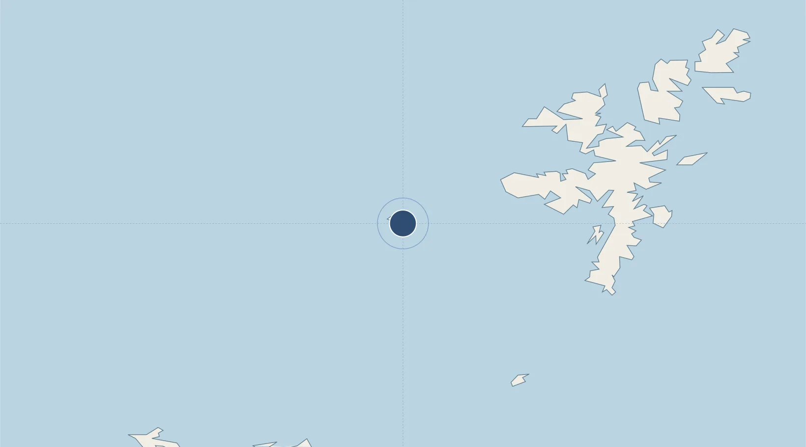
60.1217°, -2.0532°
1,252 ft
Longest runway
1
Runways
150 ft
Elevation

Runway & Layout

Foula Airfield runway & taxiway layout
Runway & taxiway layout — OpenStreetMap (ODbL) / OurAirports

Runways · 1

RunwayDimensions SurfaceTrue headingLit
18/36 1,252 × —ft
OurAirports

Airport Specifications

IATA code
FOA
OurAirports
Airport class
Small airport
OurAirports
Scheduled service
Yes
OurAirports
Served city
Foula
OurAirports

Location

Location of GB-FOA
Natural Earth 10m (public domain) · Shetland Islands · GB-FOA · 60.12, -2.05GoogleOSMYandex

Nearby Logistics Neighbours

Airports
  1. 1Lerwick / Tingwall Airport46 km
  2. 2Sumburgh Airport50 km
  3. 3Fair Isle Airport70 km
  4. 4North Ronaldsay Airport87 km
  5. 5Papa Westray Airport98 km
Nearest neighbours — logibook spatial index (haversine) over the source coordinates
Cities
  1. 1Ham Voe, Foula2 km
  2. 2Walls Shetland29 km
  3. 3Walls30 km
  4. 4Sandness30 km
  5. 5Housa Voe, Papa Stour32 km
Nearest neighbours — logibook spatial index (haversine) over the source coordinates
Ports
  1. 1Scalloway43 km
  2. 2Lerwick50 km
  3. 3Sullom Voe57 km
  4. 4Kettletoft103 km
  5. 5Pierowall104 km
Nearest neighbours — logibook spatial index (haversine) over the source coordinates
Trade Zones
  1. 1Prestwick Airport Free Zone535 km
  2. 2North Eastern Enterprise Zone574 km
  3. 3Carlisle Kingmoor Park Enterprise Zone579 km
  4. 4Tees Valley Enterprise Zone616 km
  5. 5York Central Enterprise Zone688 km
Nearest neighbours — logibook spatial index (haversine) over the source coordinates
DatabookThe Record of Consolidated Knowledge
United Kingdom beyond logistics?
Browse databook

All Sources

AirportsOurAirports
Public domain
Portsthe NGA World Port Index
Public domain (US gov)
LocationsUN/LOCODE
UN/LOCODE — free
Trade Zonesthe World Bank SEZ database
CC BY 4.0
Trade ZonesOpen Zone Map
CC BY
InfrastructureOpenStreetMap
ODbL 1.0
← United Kingdom airports