Seaport · United Kingdom

Scrabster HarborGBSCR
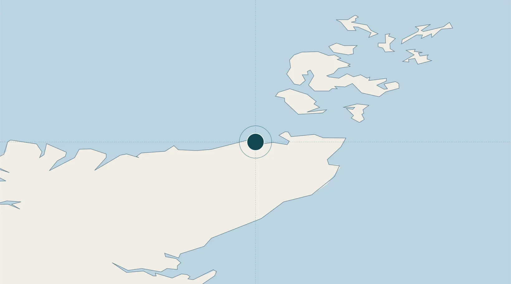
58.6167°, -3.5500°
7.7 m
Channel depth
7.8
Port liner connectivity
Scrabster Harbor is also a UN/LOCODE logistics hub →

Channel & Berth Profile

SEA LEVEL (CD)CHANNEL BEDOil terminal · 7.5 mChannel · 7.7 mAnchorage · 9.0 mCargo pier · 9.0 m
NGA World Port Index

Pilotage, Tugs & Services

Pilotage compulsoryNO
Pilotage availableYES
Pilotage advisableYES
Tug assistanceNO
Salvage tugsNO
Potable waterYES
Diesel bunkersYES
MedicalYES
Garbage disposalYES
NGA World Port Index

Facilities & Capabilities

ContainerYES
Ro-RoYES
Liquid bulkYES
Dry bulk
Oil terminalYES
Break bulkYES
Dry dock
RepairsNO
BunkeringYES
Rail linkYES
Dangerous cargo
ISPS securityYES
NGA World Port Index

Harbour Specifications

Harbour size
Small
NGA World Port Index
Harbour type
Coastal (Breakwater)
NGA World Port Index
Shelter
Fair
NGA World Port Index
Water body
North Atlantic Ocean
NGA World Port Index
Tidal range
3.7 m
NGA World Port Index
Overhead limit
No
NGA World Port Index
Pilotage
No
NGA World Port Index

Liner Connectivity

7.8
PLSCI

Port Liner Shipping Connectivity Index for Scrabster Harbor, as published by UNCTAD for the latest available quarter. Higher values indicate stronger scheduled liner-shipping integration.

Shown relative to the highest per-port PLSCI in the dataset (1,657.9).

UNCTAD · Port Liner Shipping Connectivity Index

Location

Location of GBSCR
Natural Earth 10m (public domain) · Highland · GBSCR · 58.62, -3.55GoogleOSMYandex

Nearby Logistics Neighbours

Ports
  1. 1Lyness31 km
  2. 2Wick34 km
  3. 3Stromness42 km
  4. 4St Margarets Hope42 km
  5. 5Scapa Bay49 km
Nearest neighbours — logibook spatial index (haversine) over the source coordinates
Cities
  1. 1Thurso4 km
  2. 2Crosskirk6 km
  3. 3Halkirk12 km
  4. 4Brough13 km
  5. 5Sandside15 km
Nearest neighbours — logibook spatial index (haversine) over the source coordinates
Airports
  1. 1Wick John O'Groats Airport32 km
  2. 2Kirkwall Airport53 km
  3. 3Eday Airport78 km
  4. 4Stronsay Airport80 km
  5. 5Westray Airport89 km
Nearest neighbours — logibook spatial index (haversine) over the source coordinates
Trade Zones
  1. 1Prestwick Airport Free Zone351 km
  2. 2Carlisle Kingmoor Park Enterprise Zone411 km
  3. 3North Eastern Enterprise Zone423 km
  4. 4Tees Valley Enterprise Zone469 km
  5. 5Isle of Man Free Zone and Business Park508 km
Nearest neighbours — logibook spatial index (haversine) over the source coordinates
DatabookThe Record of Consolidated Knowledge
United Kingdom beyond logistics?
Browse databook

All Sources

Portsthe NGA World Port Index
Public domain (US gov)
Logistics performanceUNCTAD
CC BY 3.0 IGO
AirportsOurAirports
Public domain
LocationsUN/LOCODE
UN/LOCODE — free
Trade Zonesthe World Bank SEZ database
CC BY 4.0
Trade ZonesOpen Zone Map
CC BY
← United Kingdom ports