Transport Functions
Port
Hub Profile
Place type
Populated place
Region
Scotland
Time zone
Europe/London
Elevation
7 m
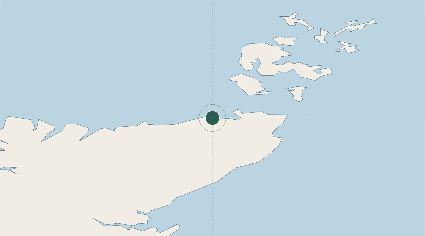
Location
Nearby Logistics Neighbours
Ports
- 1Lyness31 km
- 2Wick34 km
- 3Stromness42 km
- 4St Margarets Hope42 km
- 5Scapa Bay49 km
Airports
- 1Wick John O'Groats Airport32 km
- 2Kirkwall Airport53 km
- 3Eday Airport78 km
- 4Stronsay Airport80 km
- 5Westray Airport89 km
Trade Zones
DatabookThe Record of Consolidated Knowledge
United Kingdom beyond logistics?