Channel & Berth Profile
Pilotage, Tugs & Services
Pilotage compulsoryYES
Pilotage availableYES
Potable waterYES
MedicalYES
Garbage disposalYES
Facilities & Capabilities
ContainerNO
Ro-RoYES
Liquid bulkYES
Dry bulk—
Oil terminalNO
Break bulk—
Dry dock—
RepairsNO
BunkeringYES
Rail linkYES
Dangerous cargo—
ISPS securityYES
Harbour Specifications
Harbour size
Small
Harbour type
Coastal (Breakwater)
Shelter
Fair
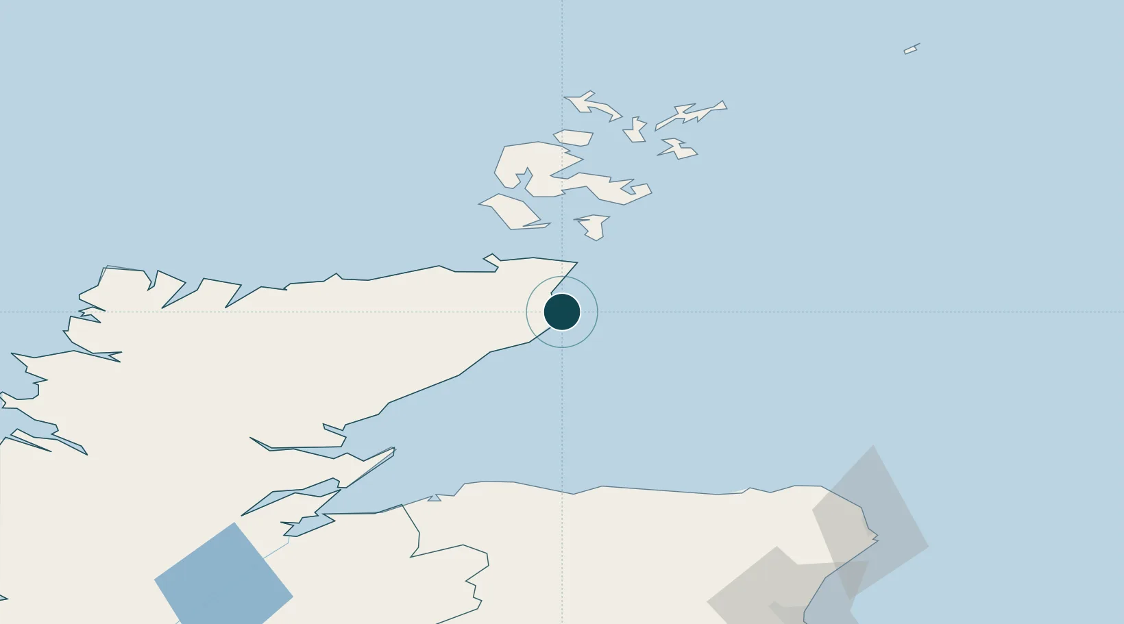
Water body
North Sea; North Atlantic Ocean
Tidal range
2.1 m
Overhead limit
Yes
Pilotage
Yes
Location
Nearby Logistics Neighbours
Ports
- 1Scrabster Harbor34 km
- 2Lyness45 km
- 3St Margarets Hope45 km
- 4Helmsdale Harbor48 km
- 5Scapa Bay58 km
Cities
- 1Staxigoe3 km
- 2Keiss11 km
- 3Whaligoe13 km
- 4Auckengill15 km
- 5Lybster19 km
Airports
- 1Wick John O'Groats Airport3 km
- 2Kirkwall Airport59 km
- 3RAF Lossiemouth82 km
- 4Stronsay Airport84 km
- 5Eday Airport86 km
Trade Zones
DatabookThe Record of Consolidated Knowledge
United Kingdom beyond logistics?