Small airport · United Kingdom

Stronsay AirportEGER
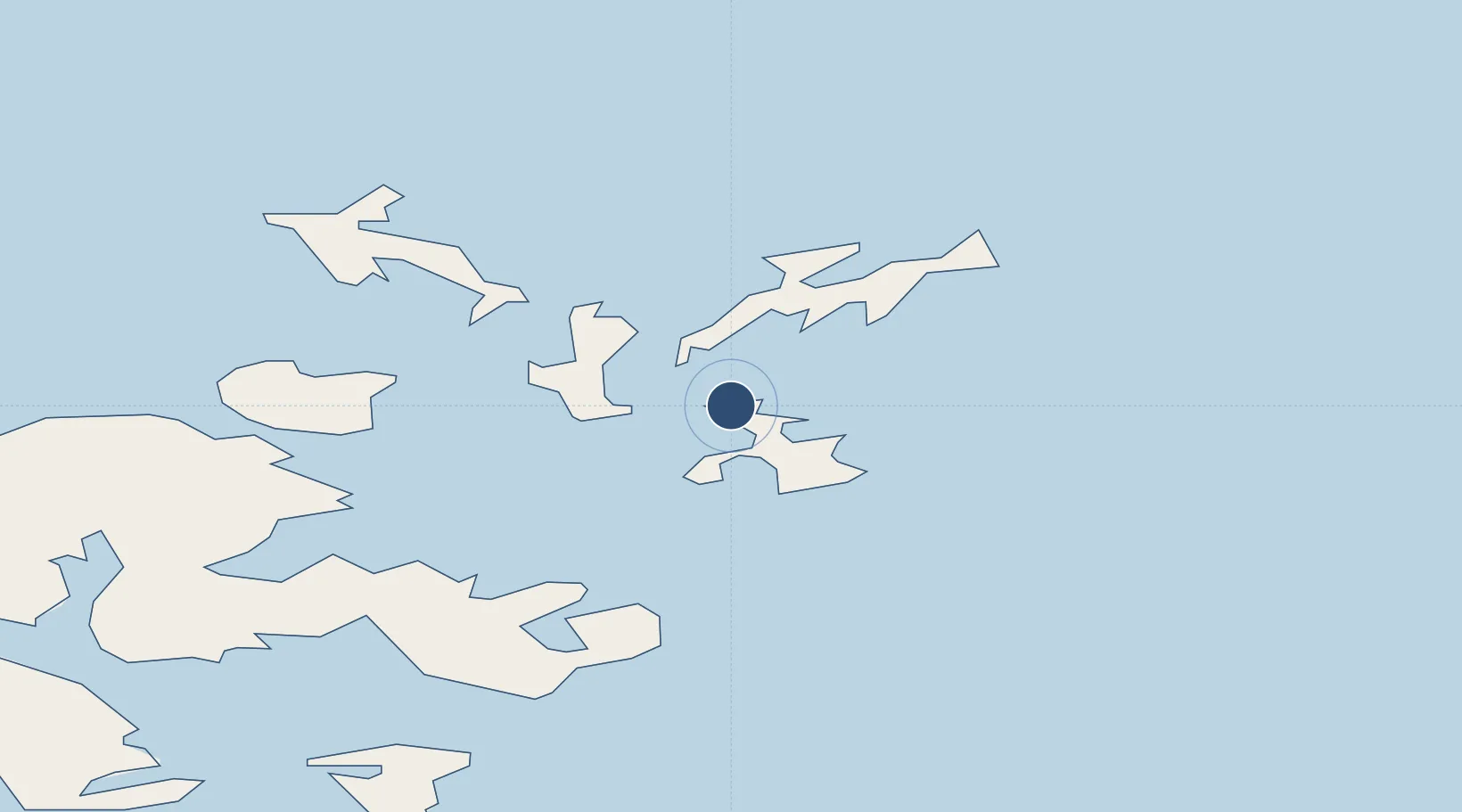
59.1553°, -2.6414°
1,689 ft
Longest runway
2
Runways
39 ft
Elevation

Runway & Layout

Stronsay Airport runway & taxiway layout
Runway & taxiway layout — OpenStreetMap (ODbL) / OurAirports

Runways · 2

RunwayDimensions SurfaceTrue headingLit
02/20 1,689 × 59ft Graded Hardcore 025°
06/24 1,348 × 98ft Grass 058°
OurAirports

Airport Specifications

IATA code
SOY
OurAirports
ICAO code
EGER
OurAirports
Airport class
Small airport
OurAirports
Scheduled service
Yes
OurAirports
Runway surface
Graded Hardcore
OurAirports
Served city
Stronsay
OurAirports

Location

Location of EGER
Natural Earth 10m (public domain) · Orkney · EGER · 59.16, -2.64GoogleOSMYandex

Nearby Logistics Neighbours

Airports
  1. 1Eday Airport8 km
  2. 2Sanday Airport11 km
  3. 3Papa Westray Airport26 km
  4. 4North Ronaldsay Airport26 km
  5. 5Kirkwall Airport27 km
Nearest neighbours — logibook spatial index (haversine) over the source coordinates
Cities
  1. 1Whitehall Village, Stronsay3 km
  2. 2Loth, Sanday6 km
  3. 3Backaland, Eday6 km
  4. 4Kettletoft, Sanday9 km
  5. 5Lamb Head10 km
Nearest neighbours — logibook spatial index (haversine) over the source coordinates
Ports
  1. 1Whitehall3 km
  2. 2Kettletoft9 km
  3. 3Kirkwall27 km
  4. 4Pierowall27 km
  5. 5Scapa Bay30 km
Nearest neighbours — logibook spatial index (haversine) over the source coordinates
Trade Zones
  1. 1Prestwick Airport Free Zone422 km
  2. 2Carlisle Kingmoor Park Enterprise Zone470 km
  3. 3North Eastern Enterprise Zone470 km
  4. 4Tees Valley Enterprise Zone514 km
  5. 5Isle of Man Free Zone and Business Park576 km
Nearest neighbours — logibook spatial index (haversine) over the source coordinates
DatabookThe Record of Consolidated Knowledge
United Kingdom beyond logistics?
Browse databook

All Sources

AirportsOurAirports
Public domain
Portsthe NGA World Port Index
Public domain (US gov)
LocationsUN/LOCODE
UN/LOCODE — free
Trade Zonesthe World Bank SEZ database
CC BY 4.0
Trade ZonesOpen Zone Map
CC BY
InfrastructureOpenStreetMap
ODbL 1.0
← United Kingdom airports