Channel & Berth Profile
Facilities & Capabilities
Container—
Ro-Ro—
Liquid bulk—
Dry bulk—
Oil terminal—
Break bulk—
Dry dock—
RepairsNO
Bunkering—
Rail link—
Dangerous cargo—
ISPS security—
Harbour Specifications
Harbour size
Very Small
Harbour type
Coastal (Natural)
Shelter
Good
Water body
North Sea; North Atlantic Ocean
Tidal range
7 m
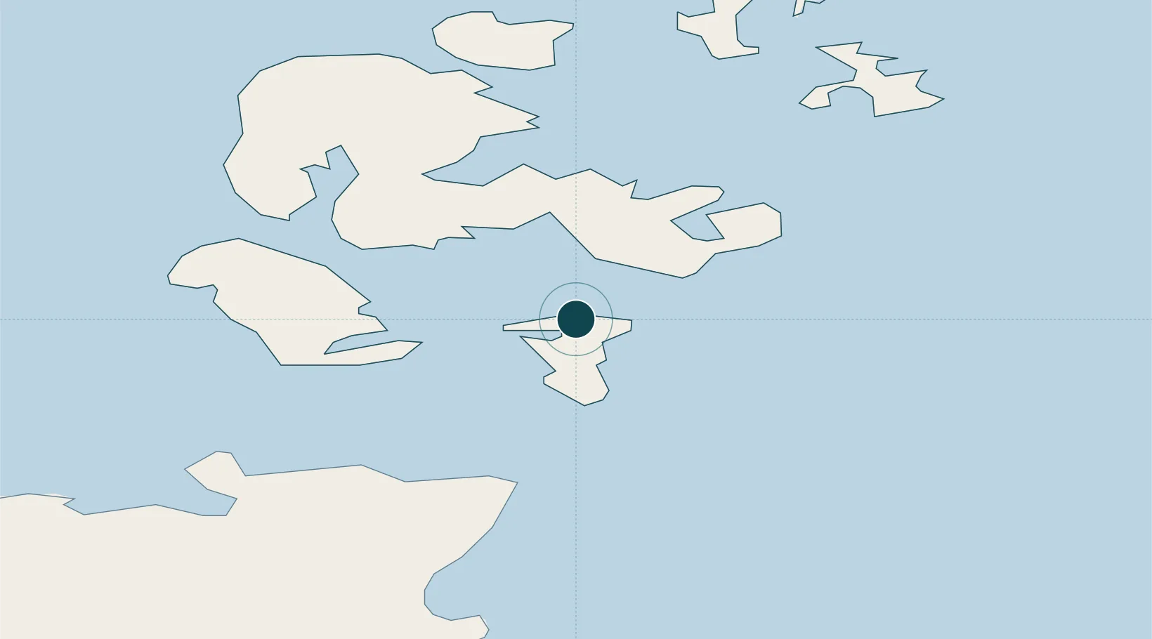
Location
Nearby Logistics Neighbours
Cities
- 1Saint Margaret's Hope, South Ronaldsay1 km
- 2Burray3 km
- 3Holm8 km
- 4Scapa Flow9 km
- 5Burwick9 km
Airports
- 1Kirkwall Airport14 km
- 2Stronsay Airport40 km
- 3Eday Airport41 km
- 4Wick John O'Groats Airport42 km
- 5Sanday Airport51 km
Trade Zones
DatabookThe Record of Consolidated Knowledge
United Kingdom beyond logistics?