Channel & Berth Profile
Pilotage, Tugs & Services
Pilotage compulsoryYES
Pilotage availableYES
Pilotage advisableYES
Tug assistanceYES
Potable waterYES
Diesel bunkersYES
MedicalNO
Garbage disposalYES
Facilities & Capabilities
Container—
Ro-Ro—
Liquid bulk—
Dry bulk—
Oil terminal—
Break bulk—
Dry dock—
RepairsNO
BunkeringYES
Rail link—
Dangerous cargo—
ISPS security—
Harbour Specifications
Harbour size
Small
Harbour type
Coastal (Natural)
Shelter
Good
Water body
North Sea; North Atlantic Ocean
Tidal range
3 m
Pilotage
Yes
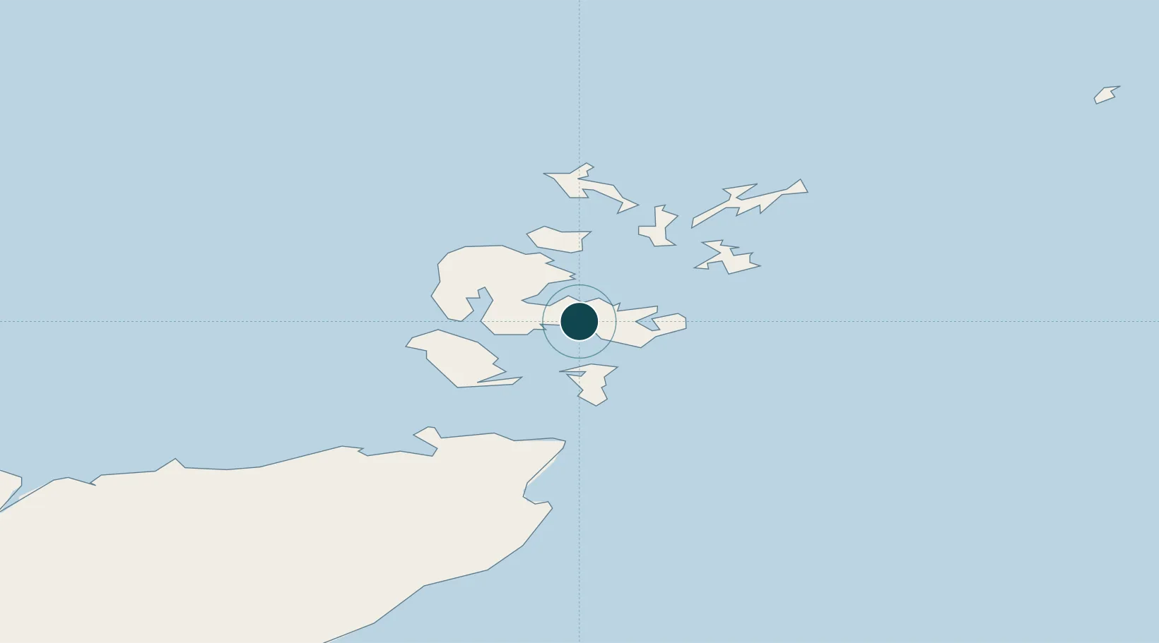
Location
Nearby Logistics Neighbours
Ports
- 1Kirkwall4 km
- 2St Margarets Hope13 km
- 3Lyness18 km
- 4Stromness18 km
- 5Whitehall30 km
Cities
- 1Kirkwall4 km
- 2Hatston6 km
- 3Holm7 km
- 4Deerness8 km
- 5Scapa Flow9 km
Airports
- 1Kirkwall Airport5 km
- 2Eday Airport29 km
- 3Stronsay Airport30 km
- 4Sanday Airport41 km
- 5Westray Airport45 km
Trade Zones
DatabookThe Record of Consolidated Knowledge
United Kingdom beyond logistics?