Channel & Berth Profile
Pilotage, Tugs & Services
Pilotage compulsoryYES
Pilotage availableYES
Tug assistanceYES
Potable waterYES
Diesel bunkersYES
MedicalYES
Garbage disposalYES
Facilities & Capabilities
Container—
Ro-Ro—
Liquid bulk—
Dry bulk—
Oil terminal—
Break bulk—
Dry dock—
RepairsNO
BunkeringYES
Rail link—
Dangerous cargo—
ISPS security—
Harbour Specifications
Harbour size
Medium
Harbour type
Coastal (Natural)
Shelter
Fair
Water body
North Sea; North Atlantic Ocean
Tidal range
3 m
Overhead limit
Yes
Pilotage
Yes
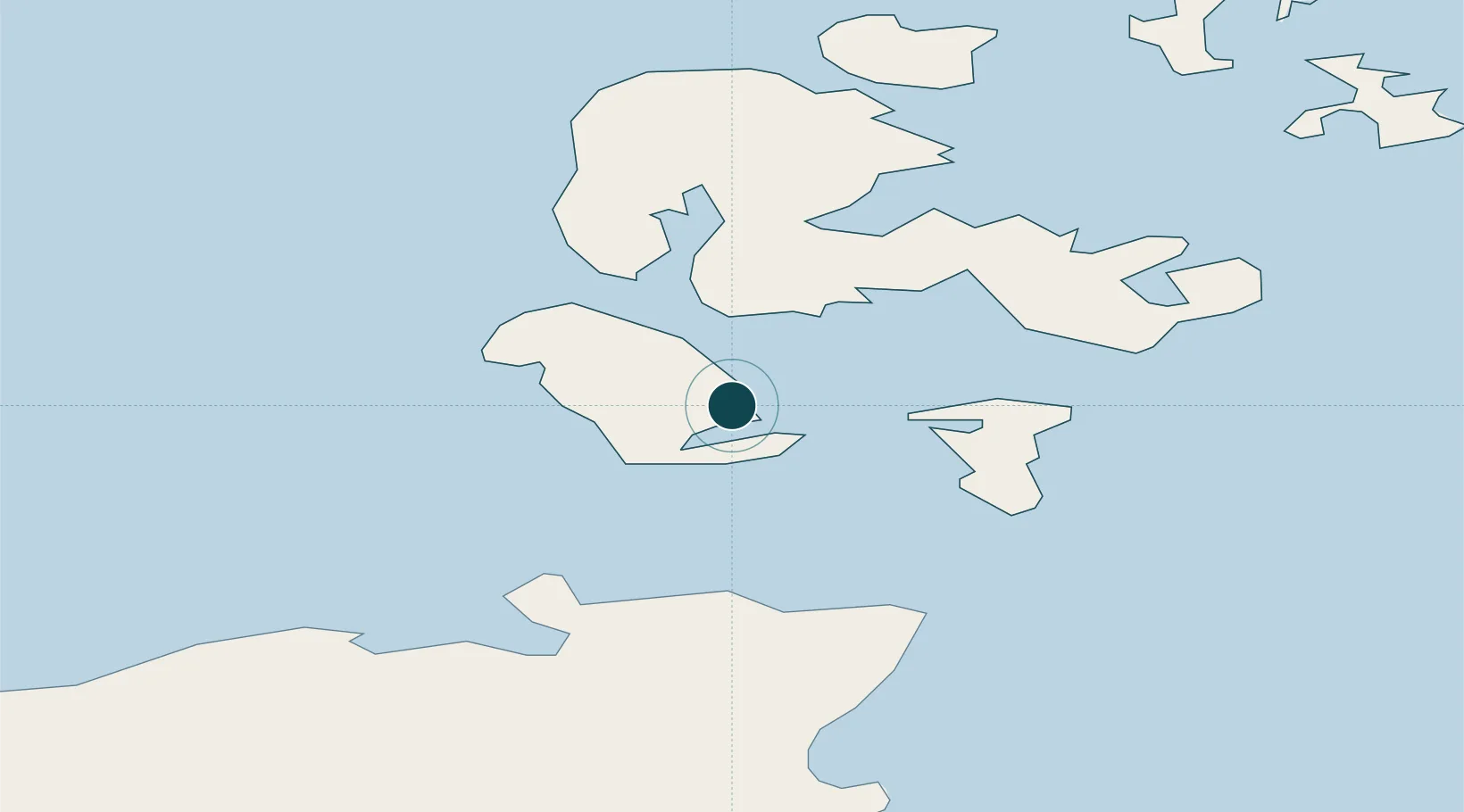
Location
Nearby Logistics Neighbours
Ports
- 1St Margarets Hope14 km
- 2Stromness16 km
- 3Scapa Bay18 km
- 4Kirkwall21 km
- 5Scrabster Harbor31 km
Cities
- 1Longhope, Hoy4 km
- 2Flotta4 km
- 3Houton9 km
- 4Scapa Flow10 km
- 5Graemsay10 km
Airports
- 1Kirkwall Airport22 km
- 2Wick John O'Groats Airport42 km
- 3Eday Airport47 km
- 4Stronsay Airport48 km
- 5Sanday Airport59 km
Trade Zones
DatabookThe Record of Consolidated Knowledge
United Kingdom beyond logistics?