Transport Functions
Port
Road
Multimodal
Hub Profile
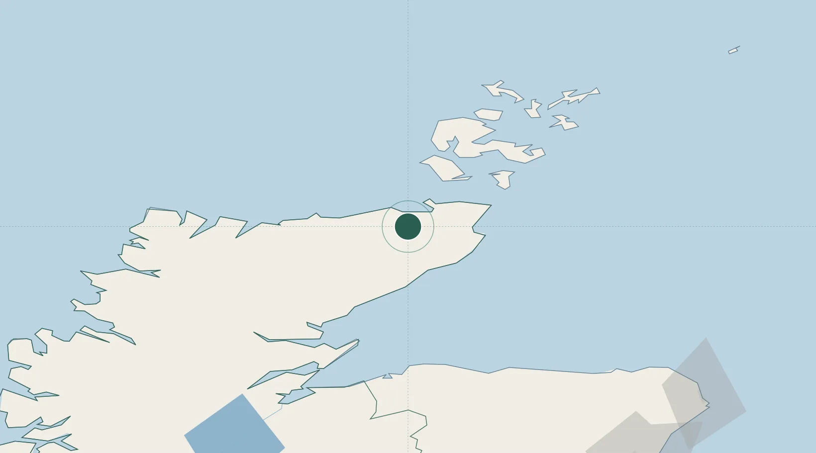
Place type
Populated place
Region
Scotland
Population
1,020
Time zone
Europe/London
Elevation
42 m
Location
Nearby Logistics Neighbours
Ports
- 1Scrabster Harbor12 km
- 2Wick26 km
- 3Lyness39 km
- 4Helmsdale Harbor45 km
- 5St Margarets Hope47 km
Airports
- 1Wick John O'Groats Airport25 km
- 2Kirkwall Airport60 km
- 3Eday Airport86 km
- 4Stronsay Airport87 km
- 5RAF Lossiemouth91 km
Trade Zones
DatabookThe Record of Consolidated Knowledge
United Kingdom beyond logistics?