Transport Functions
Port
Hub Profile
Place type
Urban district
Region
England
Time zone
Europe/London
Elevation
24 m
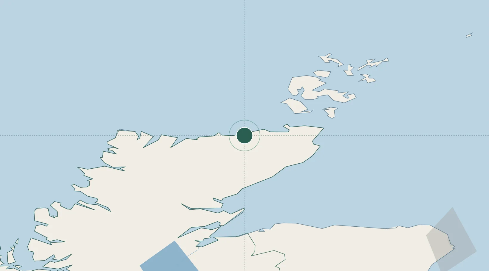
Location
Nearby Logistics Neighbours
Cities
- 1Reay2 km
- 2Portskerra8 km
- 3Crosskirk9 km
- 4Scrabster15 km
- 5Thurso16 km
Ports
- 1Scrabster Harbor15 km
- 2Wick43 km
- 3Lyness45 km
- 4Helmsdale Harbor51 km
- 5Stromness53 km
Airports
- 1Wick John O'Groats Airport42 km
- 2Kirkwall Airport67 km
- 3Eday Airport91 km
- 4Stronsay Airport93 km
- 5RAF Lossiemouth99 km
Trade Zones
DatabookThe Record of Consolidated Knowledge
United Kingdom beyond logistics?