Medium airport · United Kingdom

Kirkwall AirportEGPA
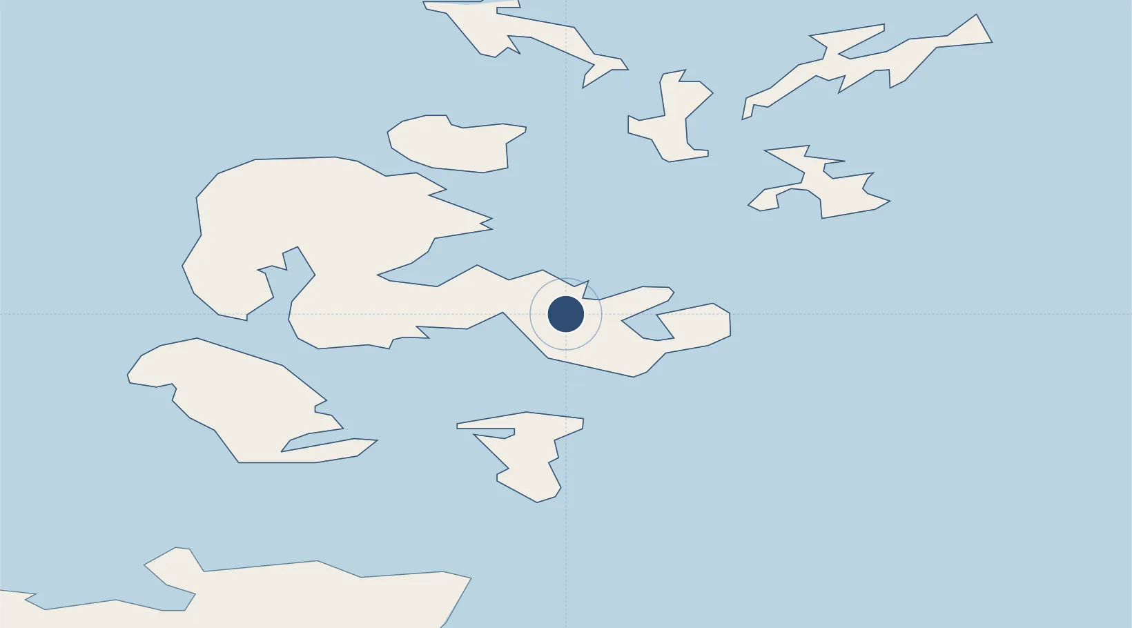
58.9579°, -2.9051°
4,690 ft
Longest runway
2
Runways
50 ft
Elevation

Runway & Layout

Kirkwall Airport runway & taxiway layout
Runway & taxiway layout — OpenStreetMap (ODbL) / OurAirports

Radio Frequencies

TWR
118.305 MHz
Kirkwall Tower
APP
118.305 MHz
OurAirports

Navaids

KW NDB Kirkwall 395 kHz
KWL VOR-DME Kirkwall 108.60 MHz
OurAirports

Runways · 2

RunwayDimensions SurfaceTrue headingLit
09/27 4,690 × 148ft Asphalt 087°
14/32 2,222 × 61ft Asphalt 140°
OurAirports

Airport Specifications

IATA code
KOI
OurAirports
ICAO code
EGPA
OurAirports
Airport class
Medium airport
OurAirports
Scheduled service
Yes
OurAirports
Runway surface
Asphalt
OurAirports
Served city
Kirkwall, Orkney Islands
OurAirports

Location

Location of EGPA
Natural Earth 10m (public domain) · Orkney · EGPA · 58.96, -2.91GoogleOSMYandex

Nearby Logistics Neighbours

Airports
  1. 1Stronsay Airport27 km
  2. 2Eday Airport27 km
  3. 3Sanday Airport38 km
  4. 4Papa Westray Airport44 km
  5. 5Westray Airport44 km
Nearest neighbours — logibook spatial index (haversine) over the source coordinates
Cities
  1. 1Deerness3 km
  2. 2Kirkwall4 km
  3. 3Scapa5 km
  4. 4Hatston6 km
  5. 5Holm6 km
Nearest neighbours — logibook spatial index (haversine) over the source coordinates
Ports
  1. 1Kirkwall5 km
  2. 2Scapa Bay5 km
  3. 3St Margarets Hope14 km
  4. 4Lyness22 km
  5. 5Stromness23 km
Nearest neighbours — logibook spatial index (haversine) over the source coordinates
Trade Zones
  1. 1Prestwick Airport Free Zone397 km
  2. 2Carlisle Kingmoor Park Enterprise Zone447 km
  3. 3North Eastern Enterprise Zone451 km
  4. 4Tees Valley Enterprise Zone496 km
  5. 5Isle of Man Free Zone and Business Park551 km
Nearest neighbours — logibook spatial index (haversine) over the source coordinates
DatabookThe Record of Consolidated Knowledge
United Kingdom beyond logistics?
Browse databook

All Sources

AirportsOurAirports
Public domain
Portsthe NGA World Port Index
Public domain (US gov)
LocationsUN/LOCODE
UN/LOCODE — free
Trade Zonesthe World Bank SEZ database
CC BY 4.0
Trade ZonesOpen Zone Map
CC BY
InfrastructureOpenStreetMap
ODbL 1.0
← United Kingdom airports