Small airport · United Kingdom
Westray AirportEGEW
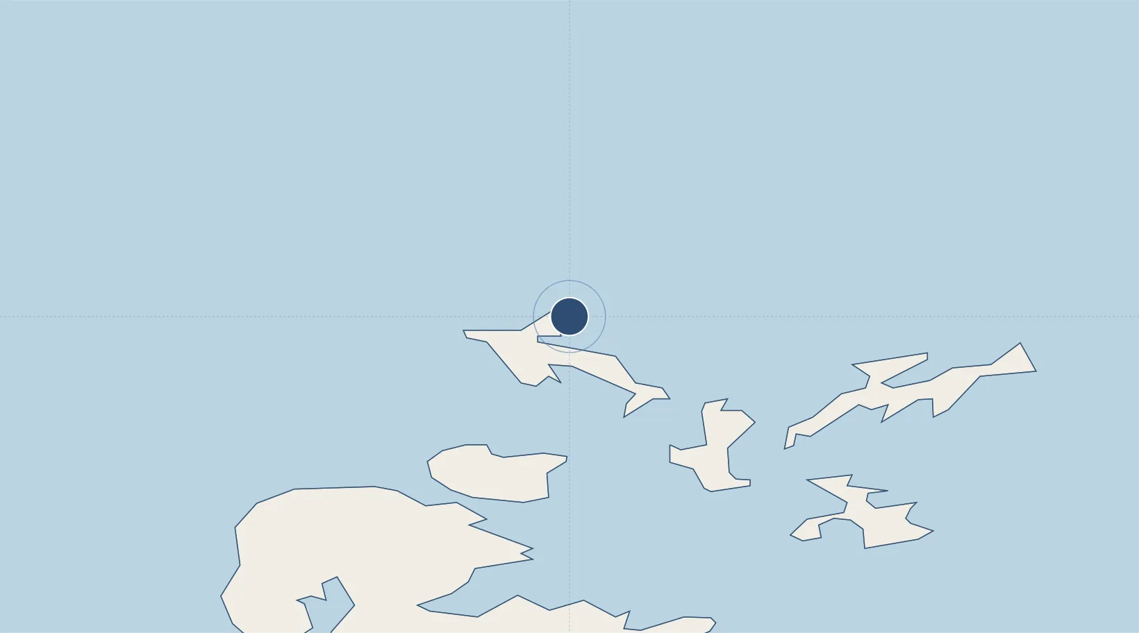
59.3505°, -2.9501°
1,729 ft
Longest runway
4
Runways
29 ft
Elevation
Runway & Layout

Radio Frequencies
RAD/APP
118.3 MHz
Westray RAD/APP
Runways · 4
| Runway | Dimensions | Surface | True heading | Lit |
|---|---|---|---|---|
| 09/27 | 1,729 × 59ft | Graded Hardcore | 088° | — |
| 13/31 | 1,381 × 59ft | Grass | 133° | — |
| 01/19 | 954 × 59ft | Grass | 011° | — |
| H | 52 × 52ft | Asphalt | — | — |
Airport Specifications
IATA code
WRY
ICAO code
EGEW
Airport class
Small airport
Scheduled service
Yes
Runway surface
Graded Hardcore
Served city
Westray, Orkney Islands
Location
Nearby Logistics Neighbours
Airports
- 1Papa Westray Airport3 km
- 2Eday Airport20 km
- 3Sanday Airport24 km
- 4Stronsay Airport28 km
- 5North Ronaldsay Airport29 km
Cities
- 1Papa Westray4 km
- 2Pierowall, Westray5 km
- 3Rapness, Westray11 km
- 4Loth, Sanday22 km
- 5Egilsay22 km
Ports
- 1Pierowall4 km
- 2Kettletoft24 km
- 3Whitehall31 km
- 4Kirkwall41 km
- 5Scapa Bay45 km
Trade Zones
DatabookThe Record of Consolidated Knowledge
United Kingdom beyond logistics?