UN/LOCODE hub · United Kingdom
GBCKK

Crosskirk

58.6000°, -3.6500°
1
Transport functions

Transport Functions

Port
UN/LOCODE

Hub Profile

Place type
Populated place
GeoNames
Region
Scotland
GeoNames
Time zone
Europe/London
GeoNames
Elevation
31 m
GeoNames

Location

Location of GBCKK
Natural Earth 10m (public domain) · Scotland · GBCKK · 58.60, -3.65GoogleOSMYandex

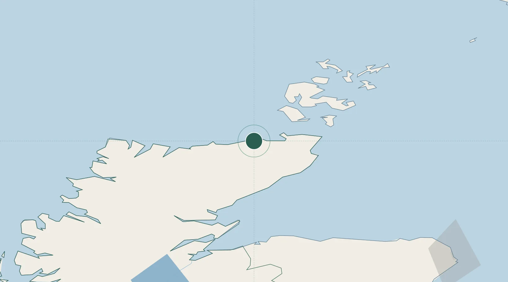
Nearby Logistics Neighbours

Cities
  1. 1Scrabster6 km
  2. 2Thurso8 km
  3. 3Sandside9 km
  4. 4Reay10 km
  5. 5Halkirk13 km
Nearest neighbours — logibook spatial index (haversine) over the source coordinates
Ports
  1. 1Scrabster Harbor6 km
  2. 2Lyness37 km
  3. 3Wick38 km
  4. 4Stromness46 km
  5. 5St Margarets Hope48 km
Nearest neighbours — logibook spatial index (haversine) over the source coordinates
Airports
  1. 1Wick John O'Groats Airport36 km
  2. 2Kirkwall Airport59 km
  3. 3Eday Airport83 km
  4. 4Stronsay Airport85 km
  5. 5Westray Airport93 km
Nearest neighbours — logibook spatial index (haversine) over the source coordinates
Trade Zones
  1. 1Prestwick Airport Free Zone349 km
  2. 2Carlisle Kingmoor Park Enterprise Zone410 km
  3. 3North Eastern Enterprise Zone422 km
  4. 4Tees Valley Enterprise Zone470 km
  5. 5Isle of Man Free Zone and Business Park505 km
Nearest neighbours — logibook spatial index (haversine) over the source coordinates
DatabookThe Record of Consolidated Knowledge
United Kingdom beyond logistics?
Browse databook

All Sources

LocationsUN/LOCODE
UN/LOCODE — free
Portsthe NGA World Port Index
Public domain (US gov)
AirportsOurAirports
Public domain
Trade Zonesthe World Bank SEZ database
CC BY 4.0
Trade ZonesOpen Zone Map
CC BY
← United Kingdom locations