Channel & Berth Profile
Pilotage, Tugs & Services
Pilotage compulsoryYES
Pilotage availableYES
Tug assistanceYES
Potable waterYES
MedicalYES
Garbage disposalYES
Facilities & Capabilities
ContainerNO
Ro-RoYES
Liquid bulkNO
Dry bulkNO
Oil terminalNO
Break bulkYES
Dry dock—
RepairsNO
BunkeringYES
Rail linkNO
Dangerous cargo—
ISPS securityYES
Harbour Specifications
Harbour size
Very Small
Harbour type
Open Roadstead
Shelter
Good
Water body
North Atlantic Ocean
Tidal range
3 m
Overhead limit
No
Pilotage
Yes
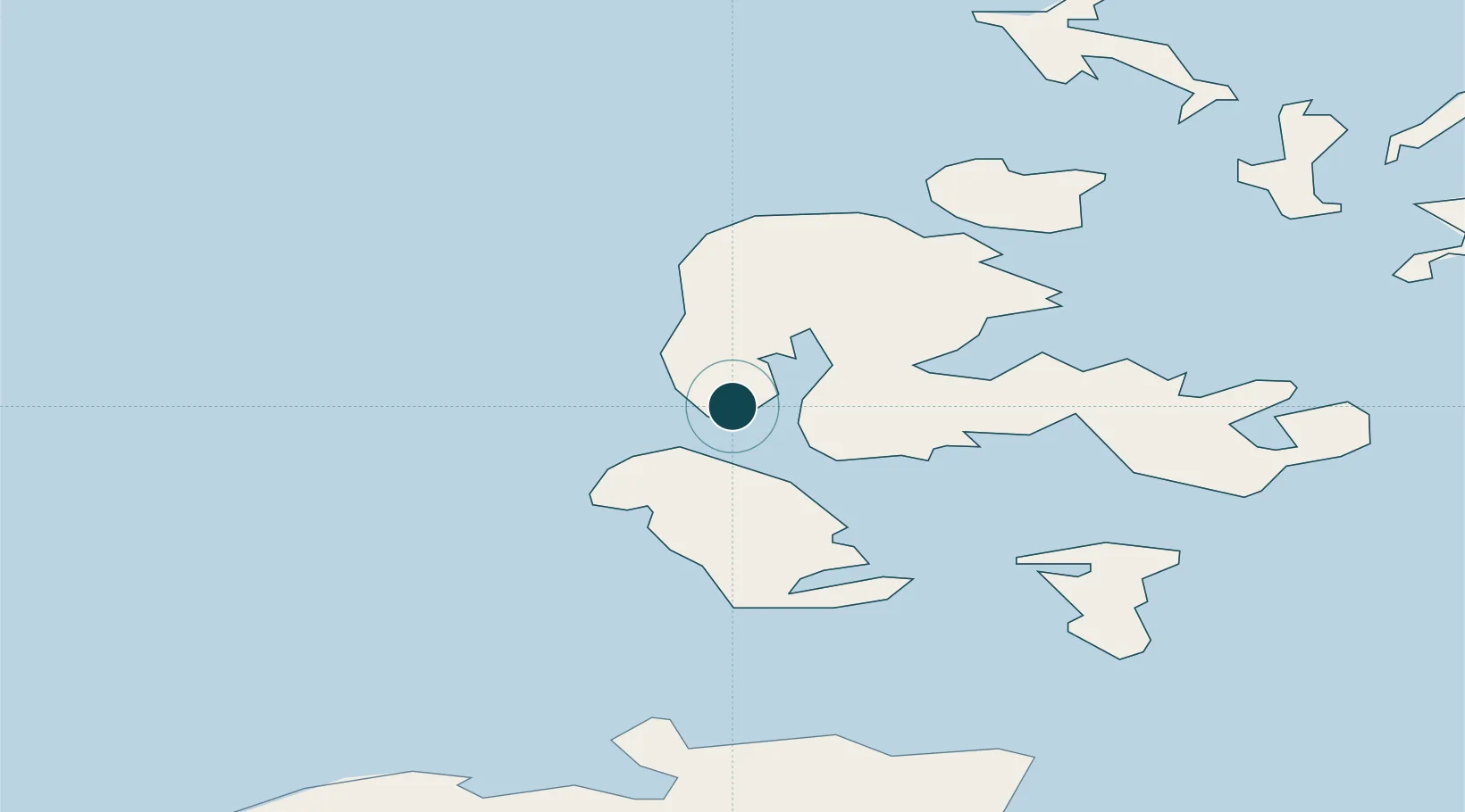
Location
Nearby Logistics Neighbours
Ports
- 1Lyness16 km
- 2Scapa Bay18 km
- 3Kirkwall19 km
- 4St Margarets Hope25 km
- 5Scrabster Harbor42 km
Cities
- 1Moaness, Hoy6 km
- 2Graemsay6 km
- 3Houton9 km
- 4Lyness16 km
- 5Scapa Flow16 km
Airports
- 1Kirkwall Airport23 km
- 2Eday Airport39 km
- 3Stronsay Airport43 km
- 4Westray Airport47 km
- 5Papa Westray Airport48 km
Trade Zones
DatabookThe Record of Consolidated Knowledge
United Kingdom beyond logistics?