Transport Functions
Port
Hub Profile
Place type
Populated place
Region
Scotland
Time zone
Europe/London
Elevation
36 m
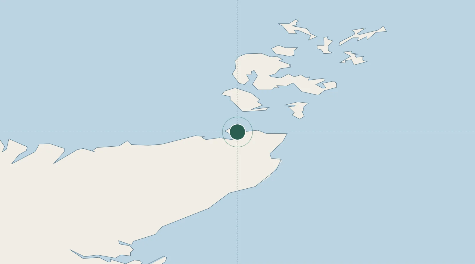
Location
Nearby Logistics Neighbours
Cities
- 1Scarfskerry4 km
- 2Gills11 km
- 3Thurso13 km
- 4Stroma13 km
- 5Scrabster13 km
Ports
- 1Scrabster Harbor13 km
- 2Lyness22 km
- 3Wick28 km
- 4St Margarets Hope30 km
- 5Stromness35 km
Airports
- 1Wick John O'Groats Airport25 km
- 2Kirkwall Airport42 km
- 3Eday Airport68 km
- 4Stronsay Airport69 km
- 5Sanday Airport80 km
Trade Zones
DatabookThe Record of Consolidated Knowledge
United Kingdom beyond logistics?