UN/LOCODE hub · United Kingdom
GBRME
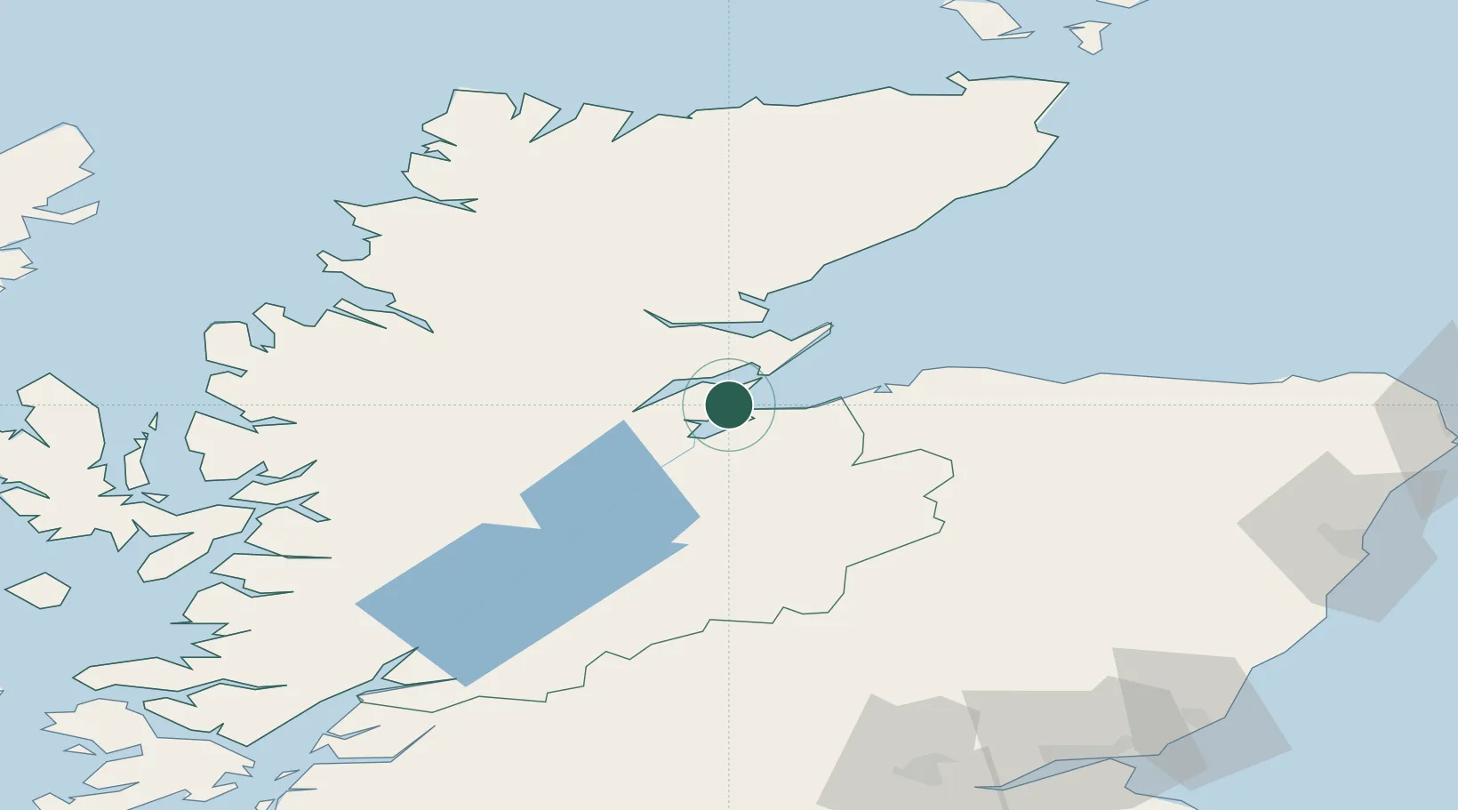
Rosemarkie
57.6000°, -4.1167°
660
Population
1
Transport functions
Transport Functions
Port
Hub Profile
Place type
Populated place
Region
Scotland
Population
660
Time zone
Europe/London
Elevation
13 m
Location
Nearby Logistics Neighbours
Ports
- 1Invergordon10 km
- 2Cromarty11 km
- 3Inverness15 km
- 4Portmahomack Harbor31 km
- 5Burghead38 km
Airports
- 1Inverness Airport8 km
- 2RAF Lossiemouth48 km
- 3Wick John O'Groats Airport113 km
- 4Aberdeen International Airport123 km
- 5Dundee Airport144 km
Trade Zones
DatabookThe Record of Consolidated Knowledge
United Kingdom beyond logistics?