Transport Functions
Rail
Road
Hub Profile
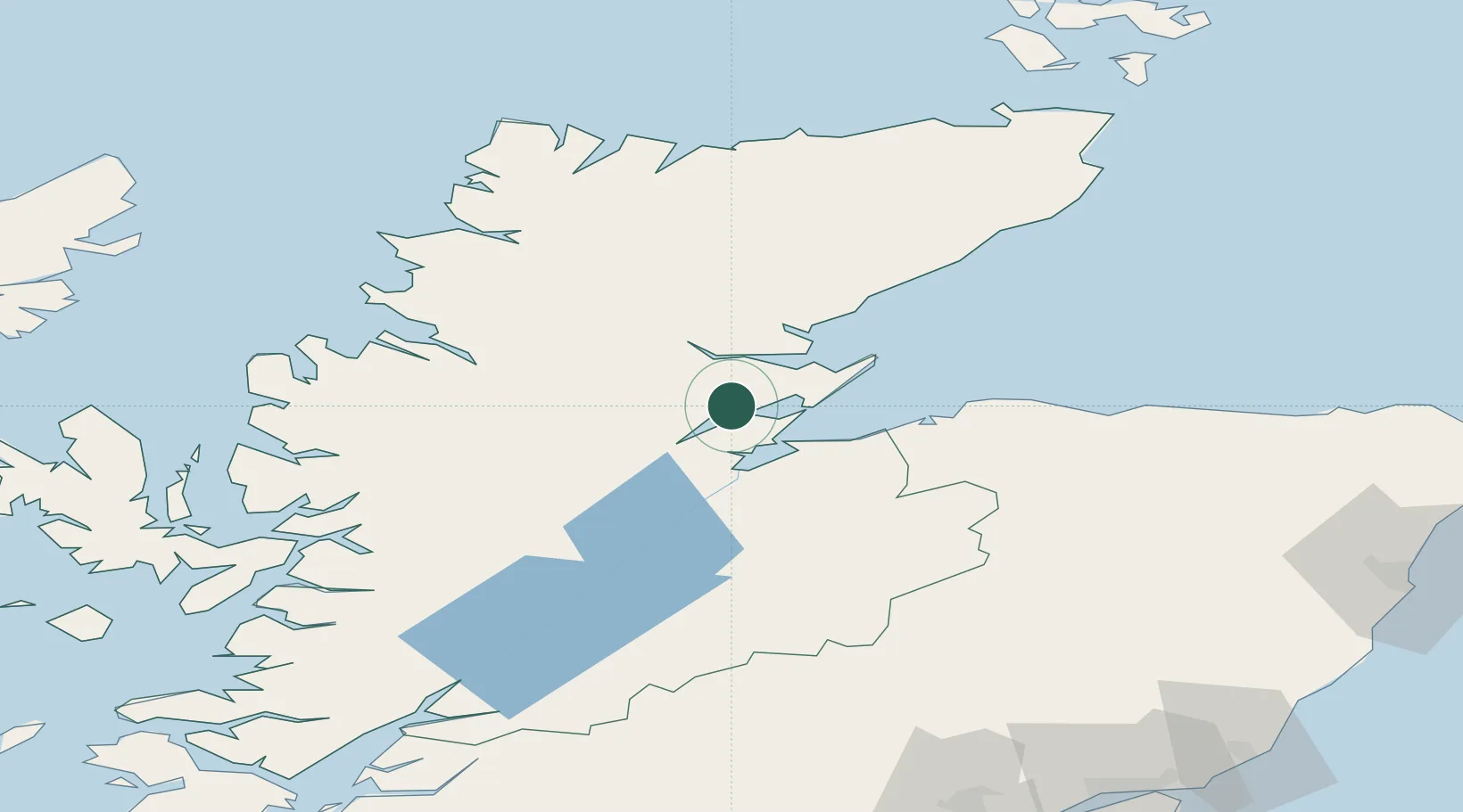
Place type
Populated place
Region
Scotland
Population
5,700
Time zone
Europe/London
Elevation
26 m
Location
Nearby Logistics Neighbours
Cities
- 1Invergordon5 km
- 2Evanton6 km
- 3Cromarty13 km
- 4Rosemarkie14 km
- 5Fortrose15 km
Ports
- 1Invergordon5 km
- 2Cromarty13 km
- 3Inverness24 km
- 4Portmahomack Harbor29 km
- 5Burghead45 km
Airports
- 1Inverness Airport21 km
- 2RAF Lossiemouth54 km
- 3Wick John O'Groats Airport108 km
- 4Aberdeen International Airport135 km
- 5Stornoway Airport136 km
Trade Zones
DatabookThe Record of Consolidated Knowledge
United Kingdom beyond logistics?