Large airport · United Kingdom
Aberdeen International AirportEGPD
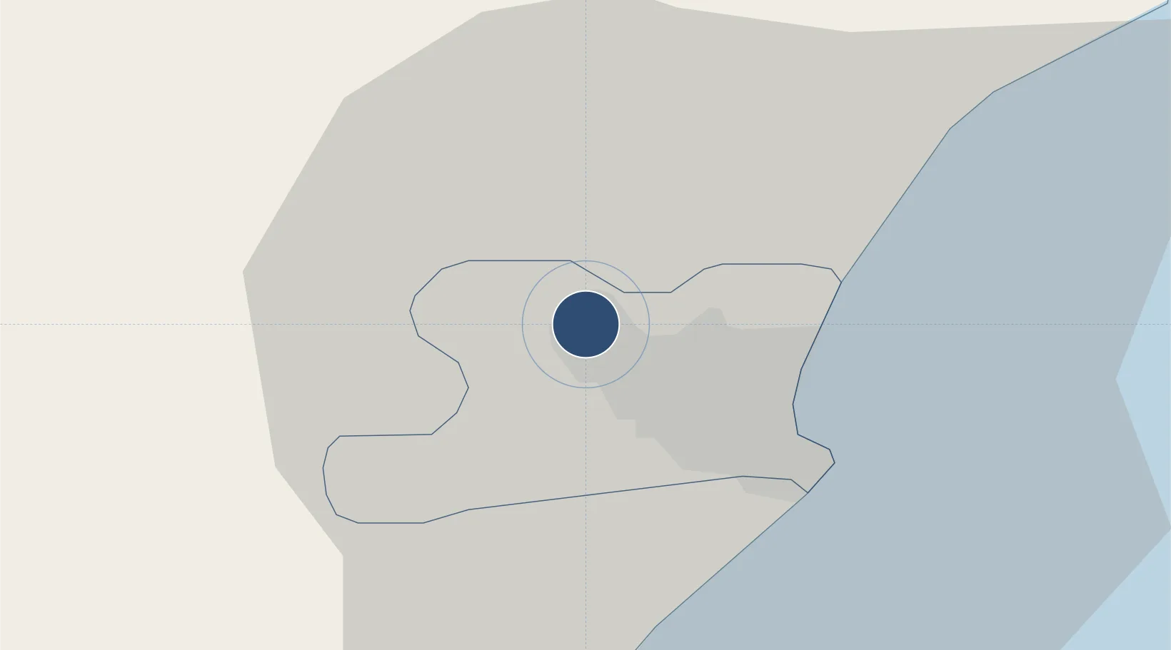
57.2019°, -2.1978°
6,407 ft
Longest runway
1
Runways
215 ft
Elevation
Runway & Layout

Radio Frequencies
ATIS
121.855 MHz
ABERDEEN ATIS
TWR
118.1 MHz
ABERDEEN TWR
GND
121.705 MHz
ABERDEEN GND
APP
119.055 MHz
ABERDEEN APP
INFO
135.175 MHz
ABERDEEN INFO
RADAR
128.305 MHz
Aberdeen Director
RDR
134.1 MHz
Aberdeen Offshore Radar
Navaids
ADN VOR-DME Aberdeen 114.30 MHz
AQ NDB Aberdeen 336 kHz
ATF NDB Aberdeen/Dyce 348 kHz
Runways · 1
| Runway | Dimensions | Surface | True heading | Lit |
|---|---|---|---|---|
| 16/34 | 6,407 × 150ft | Asphalt | 158° | ✓ |
Airport Specifications
IATA code
ABZ
ICAO code
EGPD
Airport class
Large airport
Scheduled service
Yes
Runway surface
Asphalt
Served city
Aberdeen
Location
Nearby Logistics Neighbours
Airports
- 1RAF Lossiemouth88 km
- 2Dundee Airport97 km
- 3Leuchars Station Airfield101 km
- 4Inverness Airport117 km
- 5Wick John O'Groats Airport150 km
Cities
- 1Stoneywood3 km
- 2Bucksburn4 km
- 3Aberdeen6 km
- 4Cove (Aberdeen)14 km
- 5Peterculter14 km
Ports
- 1Aberdeen9 km
- 2Peterhead41 km
- 3Macduff55 km
- 4Fraserburgh Harbor55 km
- 5Montrose58 km
Trade Zones
DatabookThe Record of Consolidated Knowledge
United Kingdom beyond logistics?