Transport Functions
Port
Airport
Hub Profile
Place type
Populated place
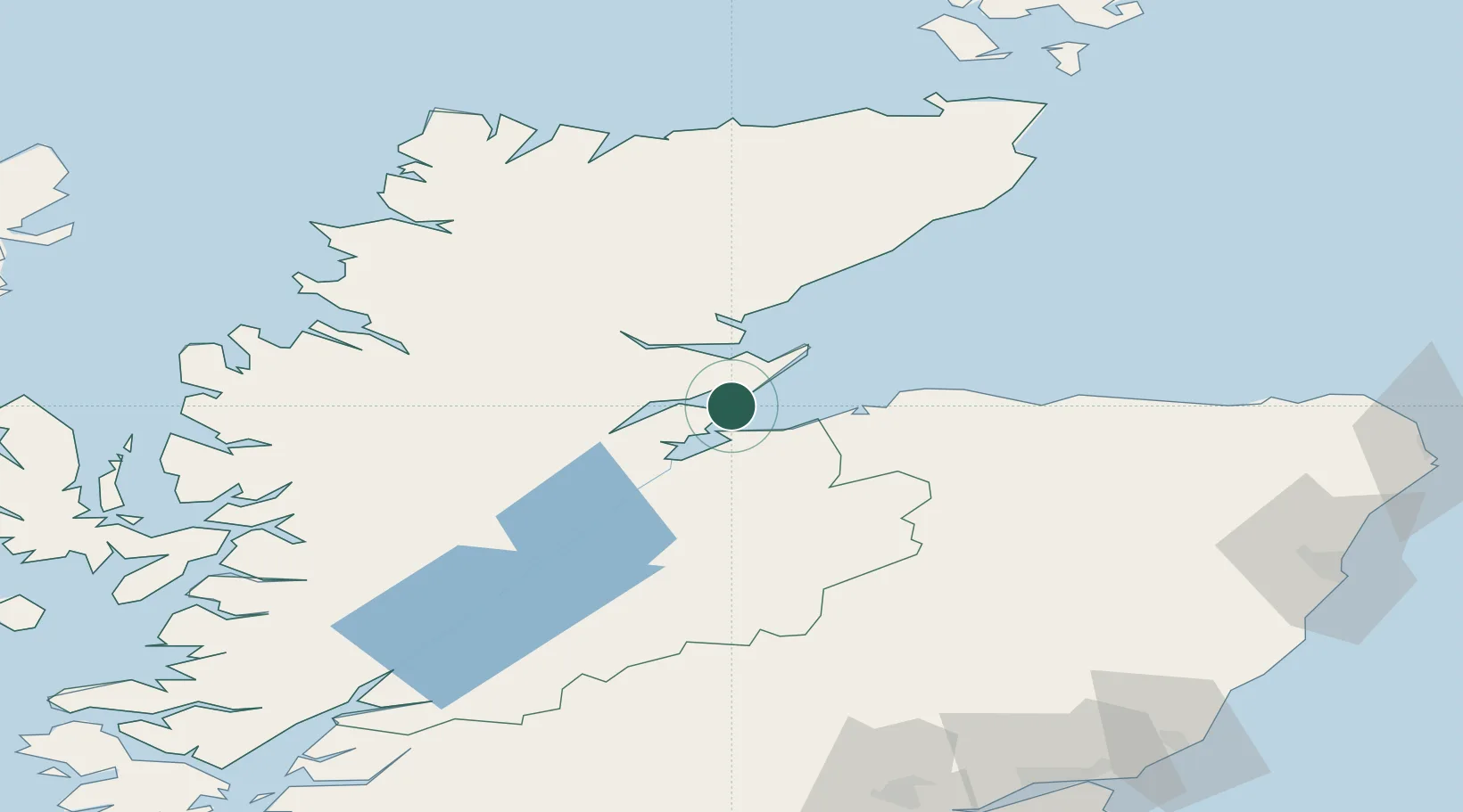
Region
Scotland
Population
740
Time zone
Europe/London
Elevation
10 m
Location
Nearby Logistics Neighbours
Cities
- 1Nigg6 km
- 2Invergordon9 km
- 3Rosemarkie9 km
- 4Fortrose11 km
- 5Balintore12 km
Ports
- 1Invergordon8 km
- 2Portmahomack Harbor22 km
- 3Inverness24 km
- 4Burghead32 km
- 5Lossiemouth45 km
Airports
- 1Inverness Airport14 km
- 2RAF Lossiemouth42 km
- 3Wick John O'Groats Airport104 km
- 4Aberdeen International Airport121 km
- 5Dundee Airport148 km
Trade Zones
DatabookThe Record of Consolidated Knowledge
United Kingdom beyond logistics?