UN/LOCODE hub · United Kingdom
GBIVG
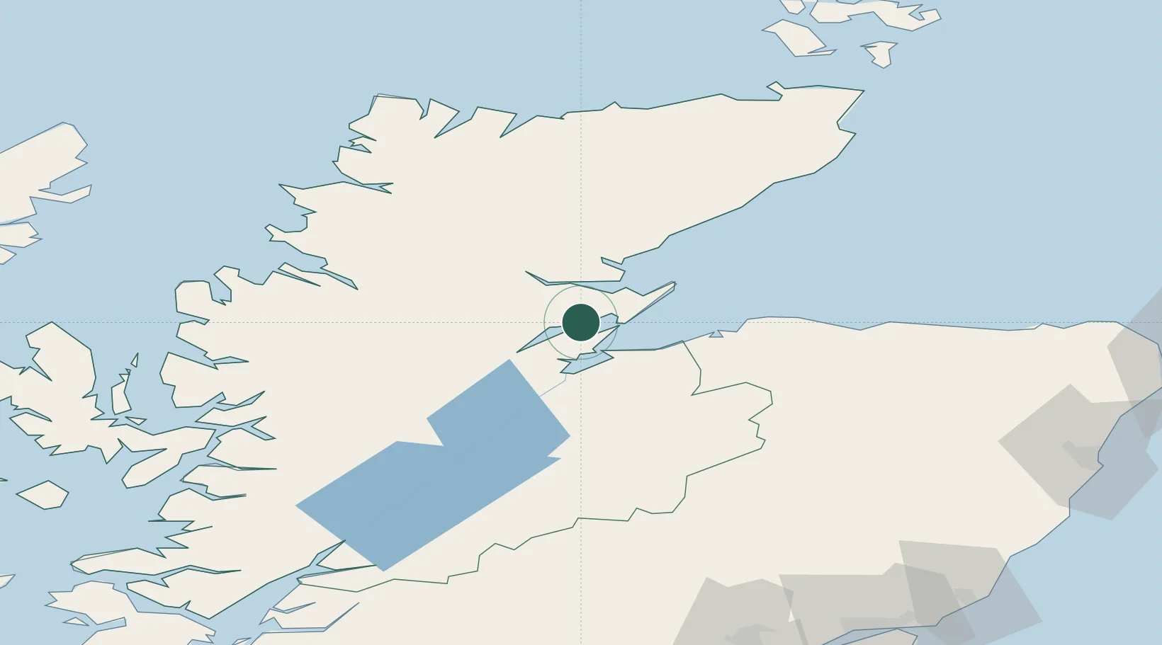
Invergordon
57.7000°, -4.1667°
4,130
Population
1
Transport functions
Transport Functions
Port
Hub Profile
Place type
Populated place
Region
Scotland
Population
4,130
Time zone
Europe/London
Elevation
9 m
Location
Nearby Logistics Neighbours
Cities
- 1Alness5 km
- 2Cromarty9 km
- 3Evanton9 km
- 4Nigg10 km
- 5Rosemarkie12 km
Ports
- 1Cromarty8 km
- 2Inverness24 km
- 3Portmahomack Harbor25 km
- 4Burghead40 km
- 5Lossiemouth53 km
Airports
- 1Inverness Airport19 km
- 2RAF Lossiemouth49 km
- 3Wick John O'Groats Airport105 km
- 4Aberdeen International Airport130 km
- 5Stornoway Airport140 km
Trade Zones
DatabookThe Record of Consolidated Knowledge
United Kingdom beyond logistics?