Transport Functions
Port
Road
Hub Profile
Place type
Populated place
Region
Scotland
Population
1,380
Time zone
Europe/London
Elevation
40 m
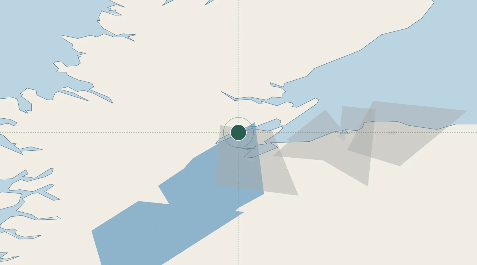
Location
Nearby Logistics Neighbours
Cities
- 1Alness6 km
- 2Invergordon9 km
- 3Rosemarkie11 km
- 4Dingwall11 km
- 5Fortrose12 km
Ports
- 1Invergordon8 km
- 2Cromarty15 km
- 3Inverness19 km
- 4Portmahomack Harbor34 km
- 5Burghead47 km
Airports
- 1Inverness Airport18 km
- 2RAF Lossiemouth57 km
- 3Wick John O'Groats Airport114 km
- 4Aberdeen International Airport134 km
- 5Stornoway Airport136 km
Trade Zones
DatabookThe Record of Consolidated Knowledge
United Kingdom beyond logistics?