Channel & Berth Profile
Pilotage, Tugs & Services
Pilotage compulsoryYES
Pilotage availableYES
Facilities & Capabilities
Container—
Ro-Ro—
Liquid bulk—
Dry bulk—
Oil terminal—
Break bulk—
Dry dock—
RepairsNO
Bunkering—
Rail link—
Dangerous cargo—
ISPS security—
Harbour Specifications
Harbour size
Small
Harbour type
Coastal (Breakwater)
Shelter
Good
Water body
North Sea; North Atlantic Ocean
Tidal range
8 m
Pilotage
Yes
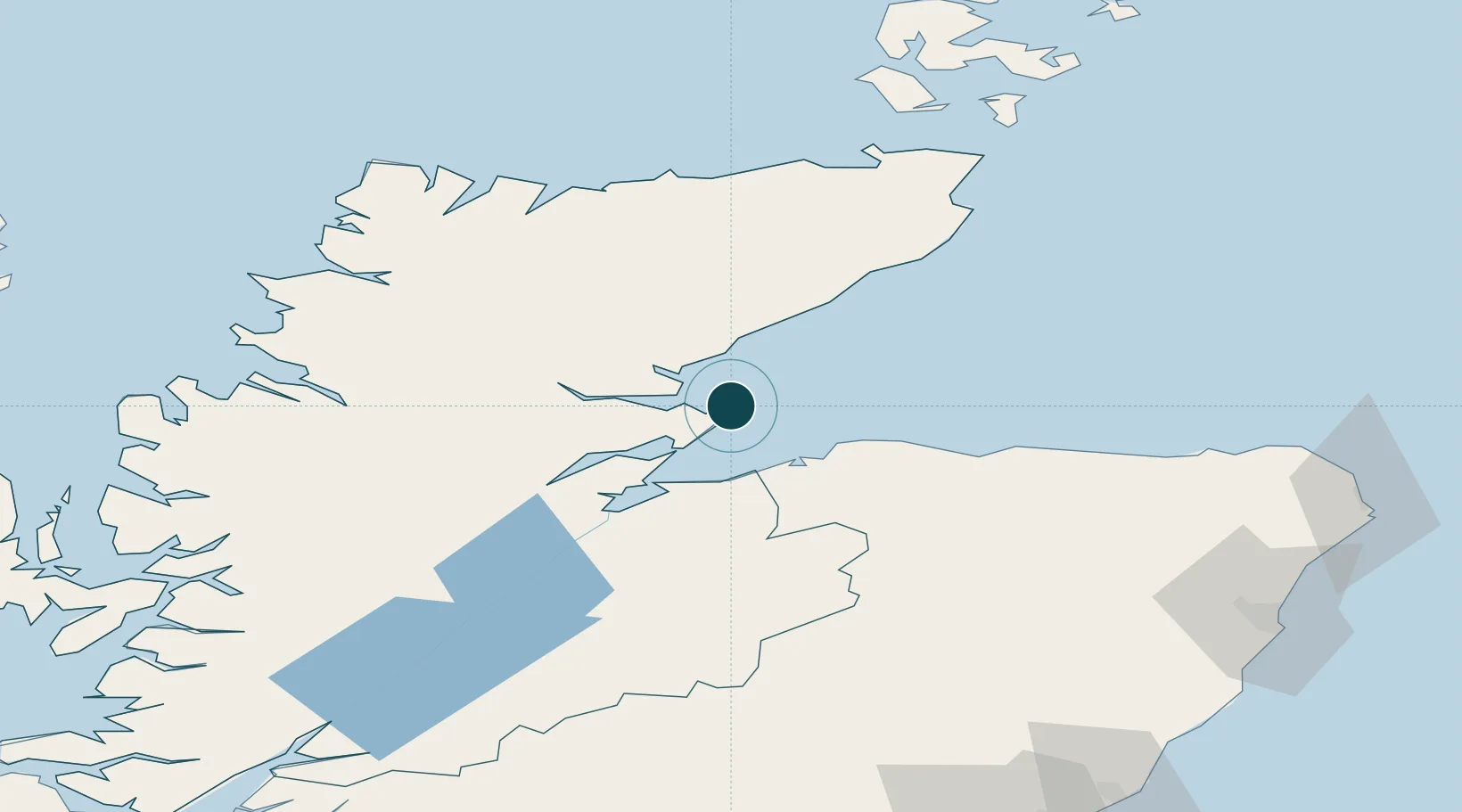
Location
Nearby Logistics Neighbours
Ports
- 1Cromarty21 km
- 2Burghead25 km
- 3Invergordon26 km
- 4Helmsdale Harbor33 km
- 5Lossiemouth35 km
Cities
- 1Balintore10 km
- 2Tain14 km
- 3Nigg16 km
- 4Meikle Ferry18 km
- 5Golspie18 km
Airports
- 1RAF Lossiemouth33 km
- 2Inverness Airport35 km
- 3Wick John O'Groats Airport82 km
- 4Aberdeen International Airport120 km
- 5Kirkwall Airport136 km
Trade Zones
DatabookThe Record of Consolidated Knowledge
United Kingdom beyond logistics?