Channel & Berth Profile
Pilotage, Tugs & Services
Pilotage compulsoryYES
Pilotage availableYES
Pilotage advisableYES
Tug assistanceNO
Shore powerYES
Potable waterYES
MedicalYES
Garbage disposalYES
Facilities & Capabilities
Container—
Ro-Ro—
Liquid bulk—
Dry bulk—
Oil terminal—
Break bulk—
Dry dock—
RepairsNO
BunkeringYES
Rail linkYES
Dangerous cargo—
ISPS security—
Harbour Specifications
Harbour size
Small
Harbour type
River (Natural)
Shelter
Good
Water body
North Sea; North Atlantic Ocean
Tidal range
5 m
Overhead limit
Yes
Pilotage
Yes
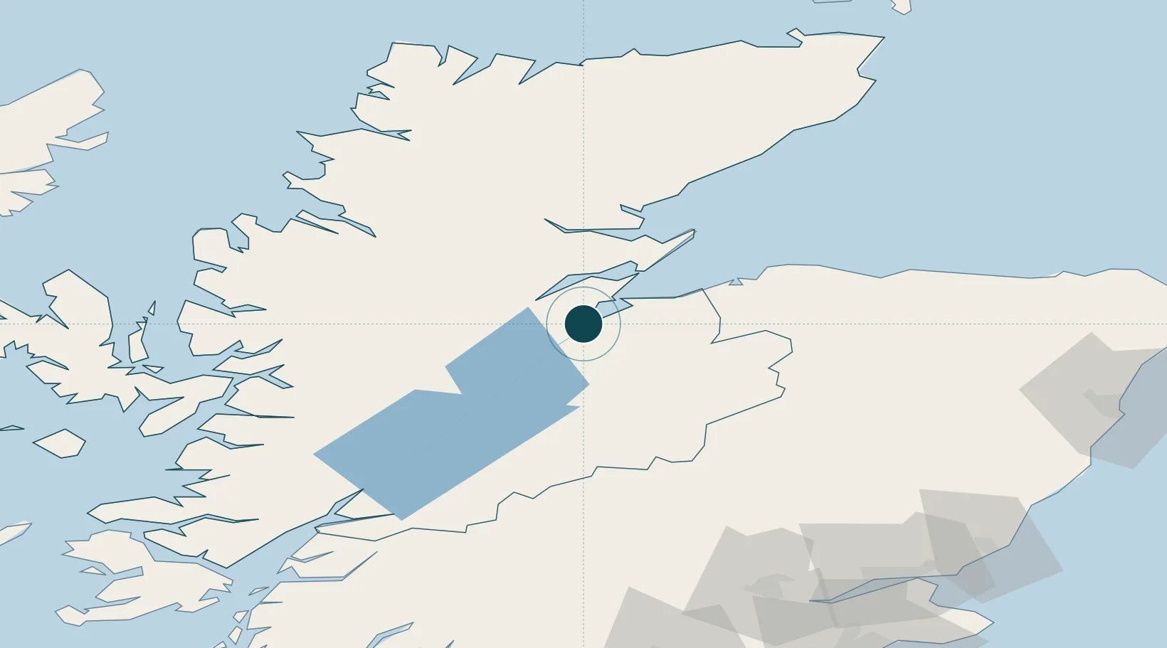
Location
Nearby Logistics Neighbours
Ports
- 1Invergordon23 km
- 2Cromarty25 km
- 3Portmahomack Harbor46 km
- 4Burghead50 km
- 5Lossiemouth62 km
Cities
- 1Avoch8 km
- 2Croy13 km
- 3Fortrose13 km
- 4Rosemarkie15 km
- 5Dingwall18 km
Airports
- 1Inverness Airport13 km
- 2RAF Lossiemouth59 km
- 3Aberdeen International Airport126 km
- 4Wick John O'Groats Airport128 km
- 5Oban Airport134 km
Trade Zones
DatabookThe Record of Consolidated Knowledge
United Kingdom beyond logistics?