Channel & Berth Profile
Pilotage, Tugs & Services
Pilotage compulsoryYES
Pilotage availableYES
Local assistanceYES
Tug assistanceNO
Salvage tugsNO
Shore powerYES
Potable waterYES
MedicalYES
Garbage disposalYES
Facilities & Capabilities
Container—
Ro-Ro—
Liquid bulk—
Dry bulk—
Oil terminal—
Break bulk—
Dry dock—
RepairsNO
BunkeringYES
Rail linkYES
Dangerous cargo—
ISPS security—
Harbour Specifications
Harbour size
Very Small
Harbour type
Coastal (Natural)
Shelter
Good
Water body
North Sea; North Atlantic Ocean
Tidal range
3 m
Pilotage
Yes
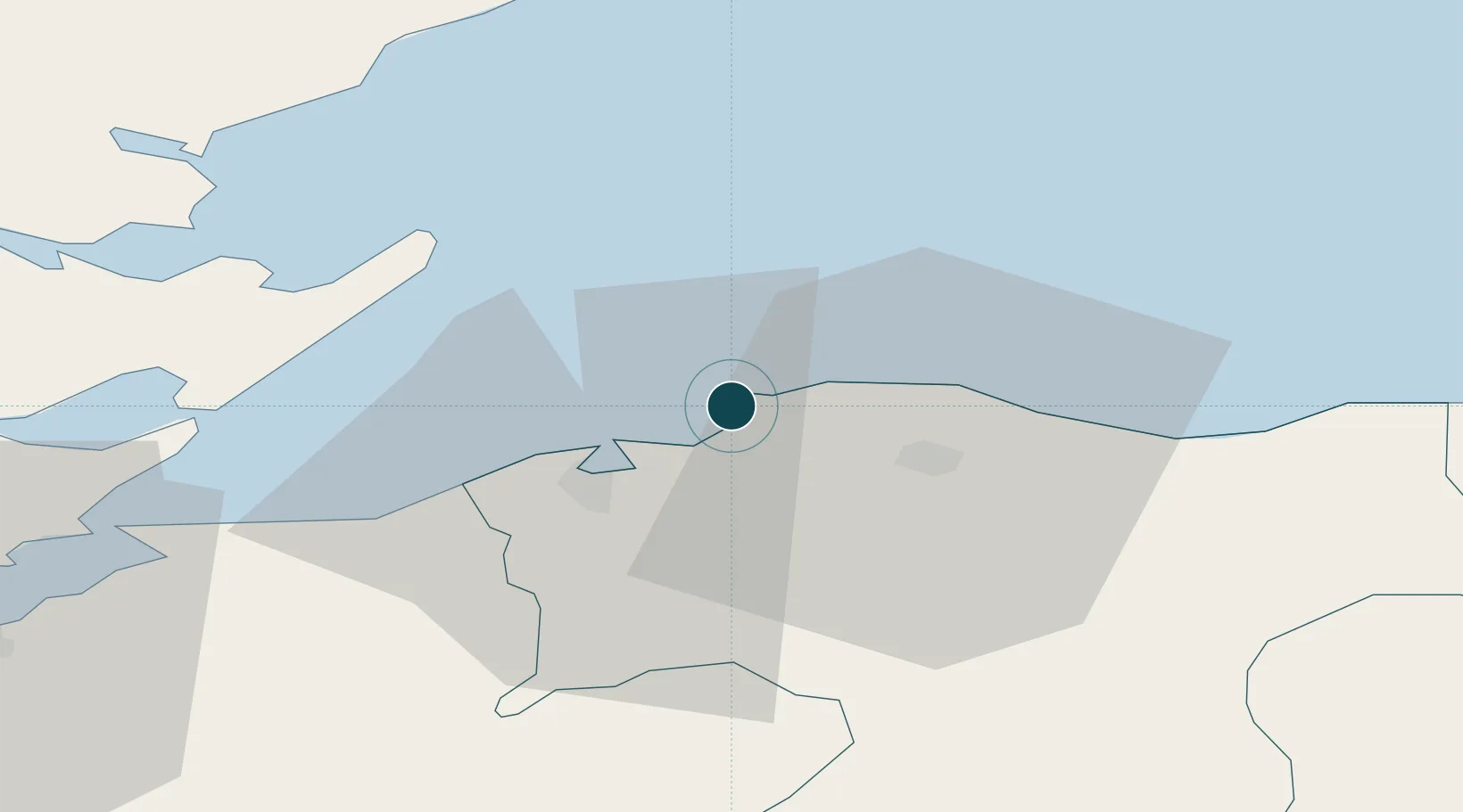
Location
Nearby Logistics Neighbours
Ports
- 1Lossiemouth13 km
- 2Portmahomack Harbor25 km
- 3Buckie Harbor32 km
- 4Cromarty32 km
- 5Invergordon40 km
Cities
- 1Hopeman4 km
- 2Findhorn8 km
- 3Elgin11 km
- 4Charlestown of Aberlour12 km
- 5Lossiemouth13 km
Airports
- 1RAF Lossiemouth10 km
- 2Inverness Airport37 km
- 3Wick John O'Groats Airport88 km
- 4Aberdeen International Airport96 km
- 5Dundee Airport142 km
Trade Zones
DatabookThe Record of Consolidated Knowledge
United Kingdom beyond logistics?