Channel & Berth Profile
Pilotage, Tugs & Services
Potable waterYES
Facilities & Capabilities
Container—
Ro-Ro—
Liquid bulk—
Dry bulk—
Oil terminal—
Break bulk—
Dry dock—
RepairsNO
Bunkering—
Rail linkYES
Dangerous cargo—
ISPS security—
Harbour Specifications
Harbour size
Small
Harbour type
Coastal (Breakwater)
Shelter
Fair
Water body
North Sea; North Atlantic Ocean
Tidal range
8 m
Overhead limit
Yes
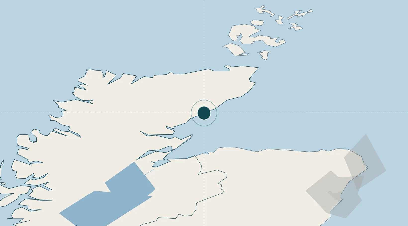
Location
Nearby Logistics Neighbours
Ports
- 1Portmahomack Harbor33 km
- 2Burghead47 km
- 3Wick48 km
- 4Lossiemouth50 km
- 5Cromarty53 km
Cities
- 1Brora16 km
- 2Dunbeath20 km
- 3Latheronwheel24 km
- 4Golspie24 km
- 5Lybster30 km
Airports
- 1RAF Lossiemouth49 km
- 2Wick John O'Groats Airport50 km
- 3Inverness Airport68 km
- 4Kirkwall Airport103 km
- 5Stronsay Airport129 km
Trade Zones
DatabookThe Record of Consolidated Knowledge
United Kingdom beyond logistics?