UN/LOCODE hub · United Kingdom
GBDUE

Dunbeath

58.2500°, -3.4333°
276
Population
2
Transport functions

Transport Functions

Port
Road
UN/LOCODE

Hub Profile

Place type
Populated place
GeoNames
Region
Scotland
GeoNames
Population
276
GeoNames
Time zone
Europe/London
GeoNames
Elevation
18 m
GeoNames

Location

Location of GBDUE
Natural Earth 10m (public domain) · Scotland · GBDUE · 58.25, -3.43GoogleOSMYandex

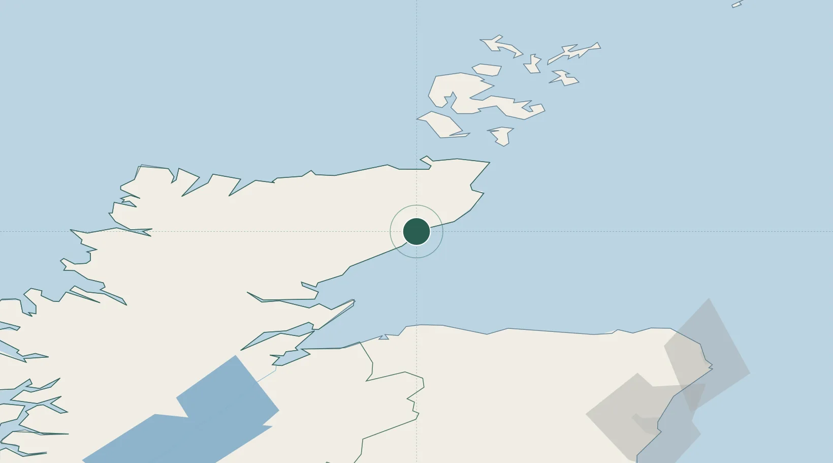
Nearby Logistics Neighbours

Cities
  1. 1Latheronwheel4 km
  2. 2Lybster10 km
  3. 3Whaligoe17 km
  4. 4Helmsdale20 km
  5. 5Wick Caithness29 km
Nearest neighbours — logibook spatial index (haversine) over the source coordinates
Ports
  1. 1Helmsdale Harbor20 km
  2. 2Wick29 km
  3. 3Scrabster Harbor41 km
  4. 4Portmahomack Harbor52 km
  5. 5Lossiemouth60 km
Nearest neighbours — logibook spatial index (haversine) over the source coordinates
Airports
  1. 1Wick John O'Groats Airport31 km
  2. 2RAF Lossiemouth61 km
  3. 3Kirkwall Airport85 km
  4. 4Inverness Airport87 km
  5. 5Stronsay Airport111 km
Nearest neighbours — logibook spatial index (haversine) over the source coordinates
Trade Zones
  1. 1Prestwick Airport Free Zone313 km
  2. 2Carlisle Kingmoor Park Enterprise Zone370 km
  3. 3North Eastern Enterprise Zone382 km
  4. 4Tees Valley Enterprise Zone429 km
  5. 5Isle of Man Free Zone and Business Park468 km
Nearest neighbours — logibook spatial index (haversine) over the source coordinates
DatabookThe Record of Consolidated Knowledge
United Kingdom beyond logistics?
Browse databook

All Sources

LocationsUN/LOCODE
UN/LOCODE — free
LocationsGeoNames
CC BY 4.0
Portsthe NGA World Port Index
Public domain (US gov)
AirportsOurAirports
Public domain
Trade Zonesthe World Bank SEZ database
CC BY 4.0
Trade ZonesOpen Zone Map
CC BY
← United Kingdom locations