Transport Functions
Port
Rail
Road
Hub Profile
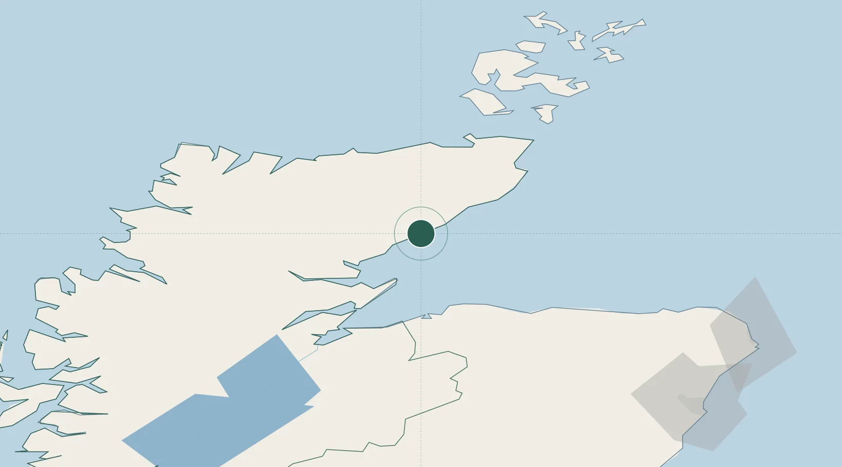
Place type
Populated place
Region
Scotland
Population
637
Time zone
Europe/London
Elevation
12 m
Location
Nearby Logistics Neighbours
Cities
- 1Brora16 km
- 2Dunbeath20 km
- 3Latheronwheel24 km
- 4Golspie24 km
- 5Lybster30 km
Ports
- 1Portmahomack Harbor33 km
- 2Burghead47 km
- 3Wick48 km
- 4Lossiemouth50 km
- 5Cromarty53 km
Airports
- 1RAF Lossiemouth49 km
- 2Wick John O'Groats Airport50 km
- 3Inverness Airport68 km
- 4Kirkwall Airport103 km
- 5Stronsay Airport129 km
Trade Zones
DatabookThe Record of Consolidated Knowledge
United Kingdom beyond logistics?