Transport Functions
Port
Road
Hub Profile
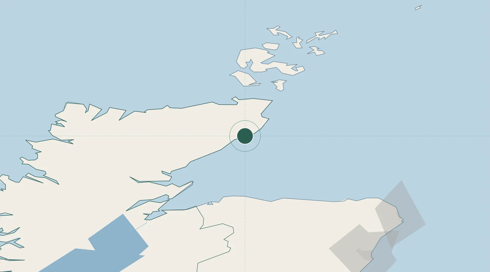
Place type
Populated place
Region
Scotland
Time zone
Europe/London
Elevation
59 m
Location
Nearby Logistics Neighbours
Cities
- 1Latheronwheel6 km
- 2Whaligoe7 km
- 3Dunbeath10 km
- 4Wick Caithness19 km
- 5Staxigoe21 km
Ports
- 1Wick19 km
- 2Helmsdale Harbor30 km
- 3Scrabster Harbor39 km
- 4Lyness60 km
- 5Portmahomack Harbor61 km
Airports
- 1Wick John O'Groats Airport21 km
- 2RAF Lossiemouth66 km
- 3Kirkwall Airport76 km
- 4Inverness Airport96 km
- 5Stronsay Airport102 km
Trade Zones
DatabookThe Record of Consolidated Knowledge
United Kingdom beyond logistics?