Transport Functions
Port
Rail
Road
Hub Profile
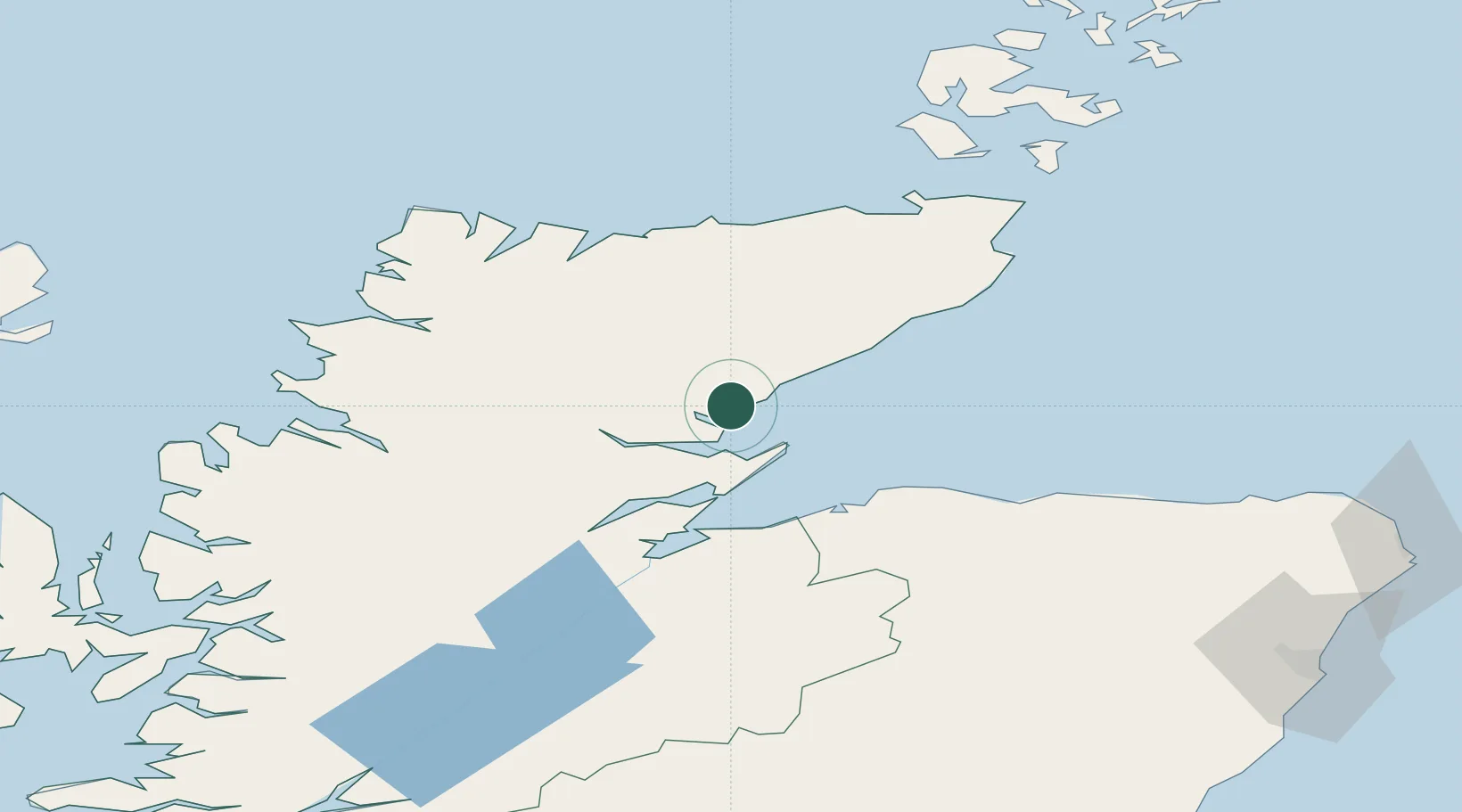
Place type
Populated place
Region
Scotland
Population
1,410
Time zone
Europe/London
Elevation
7 m
Location
Nearby Logistics Neighbours
Cities
- 1Brora8 km
- 2Meikle Ferry18 km
- 3Portmahomack19 km
- 4Tain21 km
- 5Helmsdale24 km
Ports
- 1Portmahomack Harbor18 km
- 2Helmsdale Harbor24 km
- 3Cromarty34 km
- 4Invergordon35 km
- 5Burghead42 km
Airports
- 1RAF Lossiemouth48 km
- 2Inverness Airport49 km
- 3Wick John O'Groats Airport74 km
- 4Kirkwall Airport125 km
- 5Aberdeen International Airport137 km
Trade Zones
DatabookThe Record of Consolidated Knowledge
United Kingdom beyond logistics?