Transport Functions
Port
Hub Profile
Place type
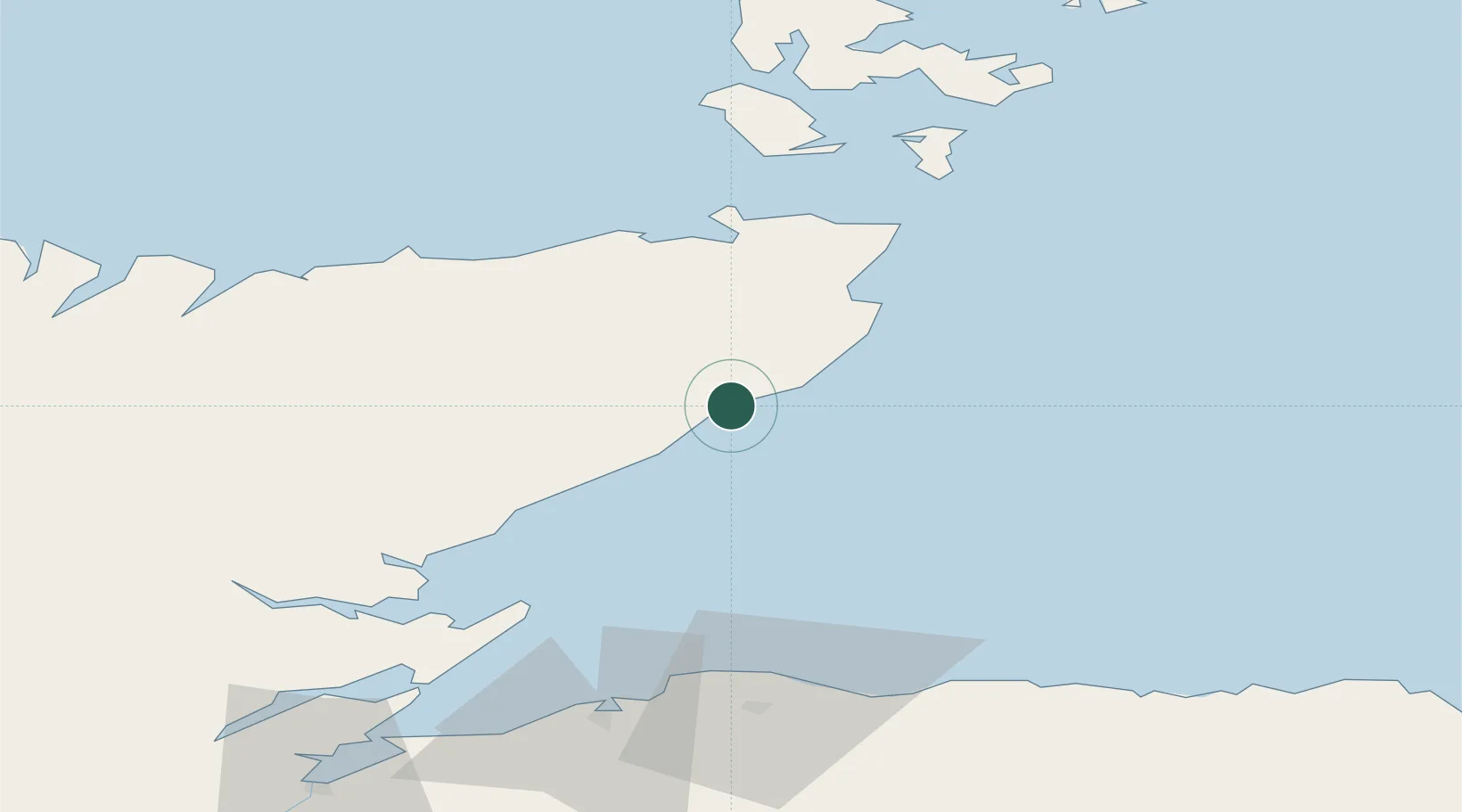
Populated place
Region
Scotland
Time zone
Europe/London
Elevation
50 m
Location
Nearby Logistics Neighbours
Cities
- 1Dunbeath4 km
- 2Lybster6 km
- 3Whaligoe13 km
- 4Helmsdale24 km
- 5Wick Caithness25 km
Ports
- 1Helmsdale Harbor24 km
- 2Wick25 km
- 3Scrabster Harbor40 km
- 4Portmahomack Harbor56 km
- 5Lossiemouth61 km
Airports
- 1Wick John O'Groats Airport27 km
- 2RAF Lossiemouth63 km
- 3Kirkwall Airport81 km
- 4Inverness Airport90 km
- 5Stronsay Airport107 km
Trade Zones
DatabookThe Record of Consolidated Knowledge
United Kingdom beyond logistics?