Seaport · United Kingdom
AberdeenGBABD
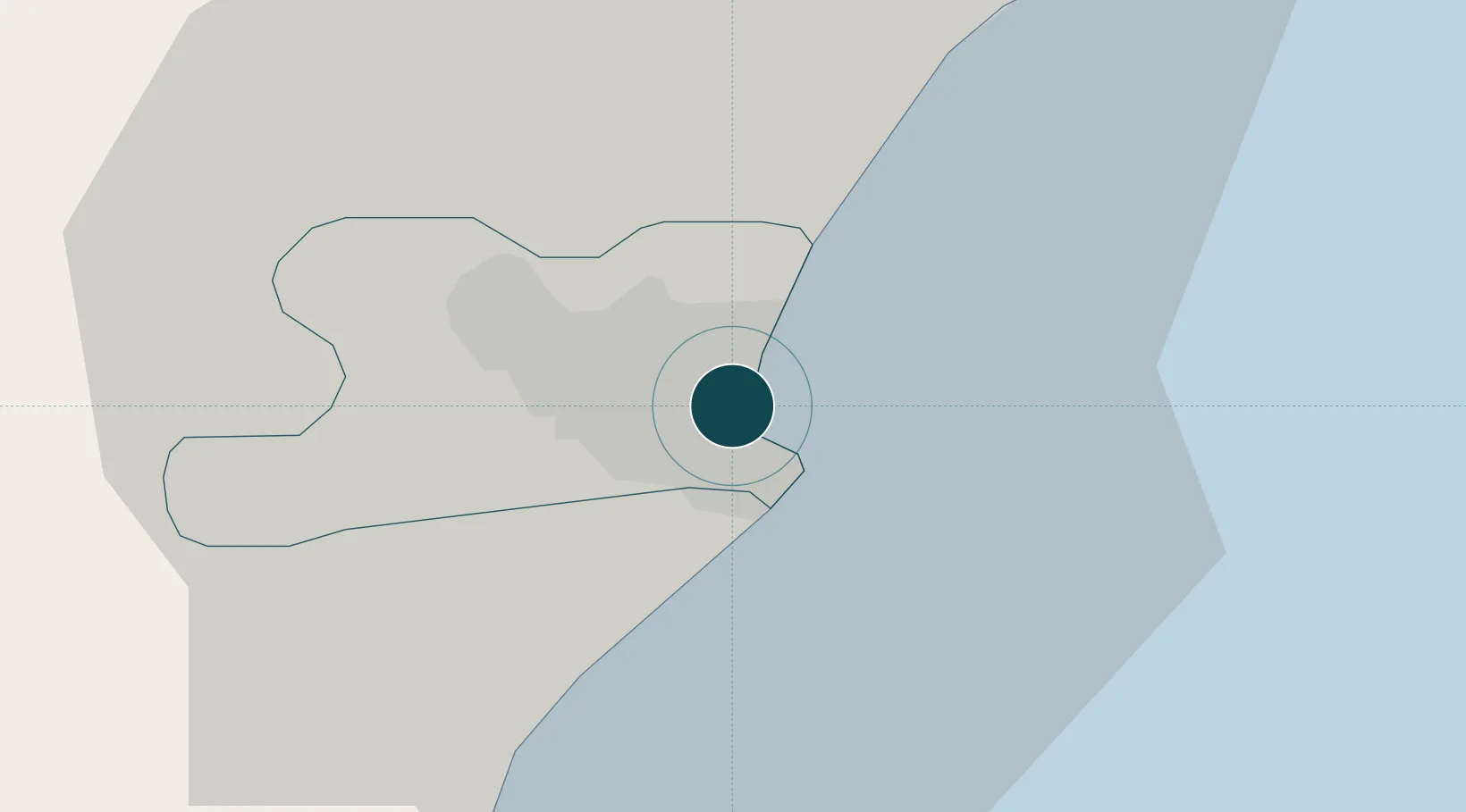
57.1500°, -2.0833°
4.9 m
Channel depth
29.7
Port liner connectivity
Channel & Berth Profile
Pilotage, Tugs & Services
Pilotage compulsoryYES
Pilotage availableYES
Pilotage advisableYES
Tug assistanceYES
Shore powerYES
Potable waterYES
Diesel bunkersYES
MedicalYES
Garbage disposalYES
Facilities & Capabilities
Container—
Ro-Ro—
Liquid bulk—
Dry bulk—
Oil terminal—
Break bulk—
Dry dockNO
RepairsNO
BunkeringYES
Rail linkYES
Dangerous cargo—
ISPS security—
Harbour Specifications
Harbour size
Medium
Harbour type
River (Basins)
Shelter
Good
Water body
North Sea; North Atlantic Ocean
Tidal range
4 m
Overhead limit
Yes
Pilotage
Yes
Liner Connectivity
29.7
PLSCI
Port Liner Shipping Connectivity Index for Aberdeen, as published by UNCTAD for the latest available quarter. Higher values indicate stronger scheduled liner-shipping integration.
Shown relative to the highest per-port PLSCI in the dataset (1,657.9).
Location
Nearby Logistics Neighbours
Ports
- 1Peterhead43 km
- 2Montrose55 km
- 3Fraserburgh Harbor60 km
- 4Macduff63 km
- 5Buckie Harbor80 km
Cities
- 1Bucksburn5 km
- 2Cove (Aberdeen)6 km
- 3Stoneywood6 km
- 4Peterculter13 km
- 5Stonehaven22 km
Airports
- 1Aberdeen International Airport9 km
- 2Dundee Airport97 km
- 3RAF Lossiemouth97 km
- 4Leuchars Station Airfield99 km
- 5Inverness Airport126 km
Trade Zones
DatabookThe Record of Consolidated Knowledge
United Kingdom beyond logistics?