Channel & Berth Profile
Pilotage, Tugs & Services
Pilotage compulsoryYES
Pilotage availableYES
Shore powerYES
Potable waterYES
Diesel bunkersYES
MedicalNO
Garbage disposalYES
Facilities & Capabilities
Container—
Ro-Ro—
Liquid bulk—
Dry bulk—
Oil terminal—
Break bulk—
Dry dockNO
RepairsNO
BunkeringYES
Rail linkNO
Dangerous cargo—
ISPS security—
Harbour Specifications
Harbour size
Small
Harbour type
Coastal (Breakwater)
Shelter
Fair
Water body
North Sea; North Atlantic Ocean
Tidal range
3 m
Overhead limit
Yes
Pilotage
Yes
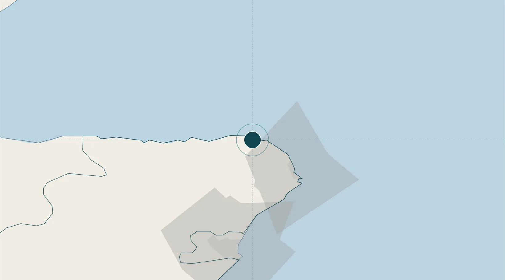
Location
Nearby Logistics Neighbours
Ports
- 1Peterhead24 km
- 2Macduff30 km
- 3Buckie Harbor58 km
- 4Aberdeen60 km
- 5Lossiemouth76 km
Cities
- 1Sandhaven and Pitullie2 km
- 2Cairnbulg5 km
- 3Inverallochy5 km
- 4Saint Combs and Charleston5 km
- 5Rosehearty6 km
Airports
- 1Aberdeen International Airport55 km
- 2RAF Lossiemouth80 km
- 3Wick John O'Groats Airport108 km
- 4Dundee Airport150 km
- 5Kirkwall Airport151 km
Trade Zones
DatabookThe Record of Consolidated Knowledge
United Kingdom beyond logistics?