UN/LOCODE hub · United Kingdom
GBZCP
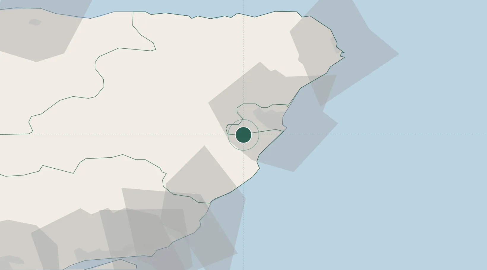
Peterculter
57.0833°, -2.2667°
4,560
Population
1
Transport functions
Transport Functions
Multimodal
Hub Profile
Place type
Populated place
Region
Scotland
Population
4,560
Time zone
Europe/London
Elevation
71 m
Location
Nearby Logistics Neighbours
Cities
- 1Bucksburn11 km
- 2Aberdeen12 km
- 3Cove (Aberdeen)12 km
- 4Stoneywood13 km
- 5Stonehaven13 km
Ports
- 1Aberdeen13 km
- 2Montrose44 km
- 3Peterhead55 km
- 4Macduff66 km
- 5Fraserburgh Harbor69 km
Airports
- 1Aberdeen International Airport14 km
- 2Dundee Airport84 km
- 3Leuchars Station Airfield87 km
- 4RAF Lossiemouth94 km
- 5Inverness Airport119 km
Trade Zones
DatabookThe Record of Consolidated Knowledge
United Kingdom beyond logistics?