UN/LOCODE hub · United Kingdom
GBABD
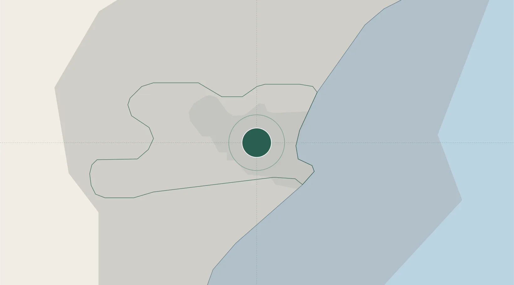
Aberdeen
57.1583°, -2.1275°
198,590
Population
2
Transport functions
Transport Functions
Port
Airport
Hub Profile
Place type
Provincial seat
Region
Scotland
Population
198,590
Time zone
Europe/London
Elevation
13 m
Logistics facilities
3
Location
Nearby Logistics Neighbours
Cities
- 1Bucksburn3 km
- 2Stoneywood4 km
- 3Cove (Aberdeen)7 km
- 4Peterculter12 km
- 5Stonehaven22 km
Ports
- 1Peterhead43 km
- 2Montrose55 km
- 3Fraserburgh Harbor59 km
- 4Macduff61 km
- 5Buckie Harbor77 km
Airports
- 1Aberdeen International Airport6 km
- 2RAF Lossiemouth95 km
- 3Dundee Airport96 km
- 4Leuchars Station Airfield98 km
- 5Inverness Airport123 km
Trade Zones
DatabookThe Record of Consolidated Knowledge
United Kingdom beyond logistics?